
R
Tilastollinen ohjelmointi
R on voimakas, laajasti käytetty ohjelmistoympäristö tilastolliseen tietojenkäsittelyyn ja graafiseen esittämiseen. R loistaa maantieteellisten aineistojen analysoimisessa ja käsittelyssä. R:n geospatiaalisen analysoinnin ominaisuudet ovat käytettävissä R-paketteina (packages: moduuleja, jotka laajentavat R:n ominaisuuksia), jotka tarjoavat käytettäväksi suuren määrän perinteisiä ja edistyneitä algoritmejä. R ja sen paketit voivat käsitellä piste-, viiva-, alue-, verkosto- ja ruudukkodataa (jne).
Users can accomplish a broad array of tasks such as: image classification, statistical analysis to infer spatial relationships and patterns of features, and others listed in the core features below. The functions available via R complement and advance capabilities found in GIS and image processing software. Using packages for parallelisation users can drastically reduce computational time and increase these capability. Several packages provide connection with other OSGeo tools and software. You can easily plug R with GRASS-GIS, Qgis, postgreSQL and postGIS.
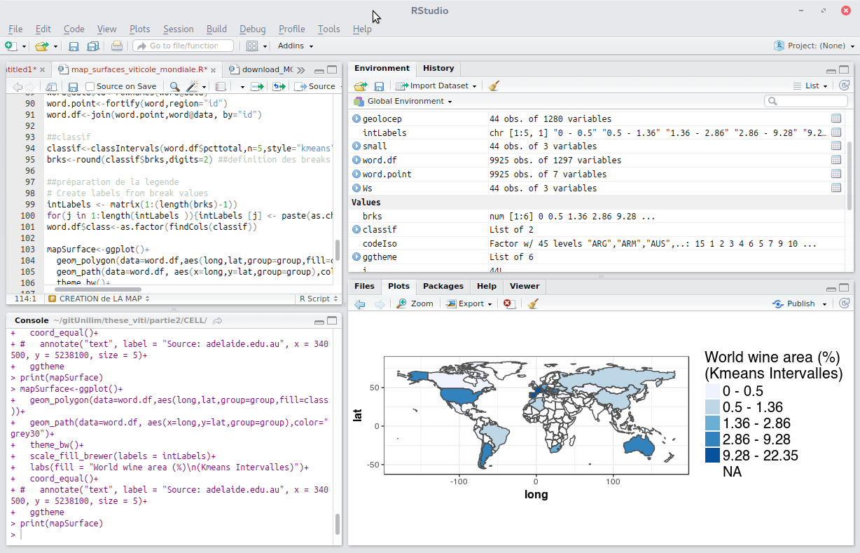
The core R interface is a command line window which provides excellent flexibility and control but tends to lengthen the time required to become a proficient user when compared to software with a graphical user interface (GUI). Fortunately R is well documented on the web site which eases the learning process. Scripts are often used to automate processing steps but there are GUIs, the leading one being RStudio (https://posit.co/).
R is an implementation of the S programming language and there is significant compatibility between R and legacy S and S-Plus code as well as between R and the modern commercial version of S, TIBCO Spotfire S+. This makes it possible to convert different versions of S code to run on R without major code modifications.
Keskeiset ominaisuudet
Täydellinen oliopohjainen ohjelmointikieli, joka on suunniteltu tilastollisesti ja matemaattisesti intensiivisiä sovelluksia varten
Tällä hetkellä (2017/08/11) CRAN-projektissa on 11239 pakettia.
Hundreds of community contributed add-on packages for spatial statistics
Spatiaalisen datan luokat
Spatiaalisen datan lukeminen ja kirjoittaminen
Pistekuvion analysoiminen
Geostatistiikka
Spatiaalinen regressio
Ekologinen analyysi
Tehokkaat algoritmit rasterin käsittelyyn
Kaukokartoitus
Bayesian spatial analysis
…
Lisätiedot
Website: https://cran.r-project.org
Licence: GPL
Ohjelmistoversio: 4.3.3
** Tuetut käyttöjärjestelmät: ** Windows, Linux, Mac, Unix
Community Support: https://cran.r-project.org/web/views/Spatial.html
CRAN packages available: https://cran.r-project.org/web/packages/available_packages_by_name.html