

actinia
High Performance Geospatial Processing
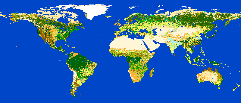
Actinia is an open source REST API for scalable, distributed, high performance processing of geographical data that uses mainly GRASS GIS for computational tasks.
It provides a REST API to process satellite images, time series of satellite images, arbitrary raster data with geographical relations and vector data.
Keskeiset ominaisuudet
REST API to process satellite images, time series of satellite images, raster and vector data.
Explore the tutorial.
Lisätiedot
Website: https://actinia.mundialis.de/
Lisenssi: GNU General Public License (GPL) version 3
Software Version: 4.2.0
Tuetut ympäristöt: GNU/Linux, Mac OSX, MS Windows
API Interfaces: REST API, Python
API documentation: https://redocly.github.io/redoc/?url=https://actinia.mundialis.de/latest/swagger.json
Support: https://github.com/actinia-org/actinia-core
Muista
This project is only included on the OSGeoLive virtual machine disk (VMDK)