

GeoNetwork
Metadata Catalog
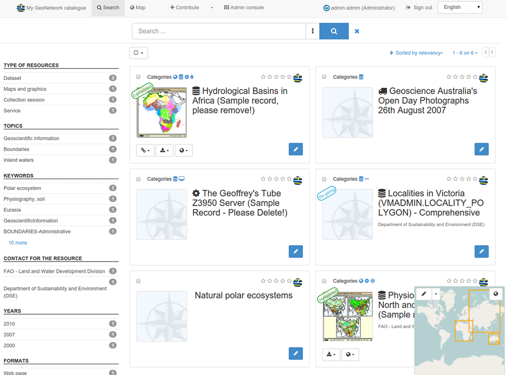
GeoNetwork OpenSource on luettelo sovellus, jolla hallitaan spatiaalisesti viitattuja resursseja. Se tarjoaa tehokkaita metatietojen muokkaus-ja haku toimintoja, upotetun vuorovaikutteisen Web Map Viewer-ohjelman ja perustuu avoimiin standardeihin.
Keskeiset ominaisuudet
Immediate search access to local and distributed geospatial catalogues
Up and downloading of data, graphics, documents, pdf files and any other content type
An interactive Web Map Viewer to combine Web Map Services from distributed servers around the world
Recently updated entries are accessible as RSS news feeds and as GeoRSS.
Online editing of metadata with a powerful template system
Native support for ISO19115/ISO19119/ISO19139/ISO19110 and Dublin Core formatted metadata
Scheduled harvesting and synchronization of metadata between distributed catalogues (GeoNetwork, CSW, OGC WxS GetCapabilities, WebDav, ArcSDE, Thredds, OGC WFS Features, OAI-PMH)
Fine-grained access control
Group and user management
Multi-lingual user interface
Toteutetut standardit
OGC Catalogue Service-Web (CSW) 2.0.2 ISO
Open Archives Initiatives (OAI-PMH)
OpenSearch-Geo / INSPIRE Atom
Client for OGC-WMS/WMTS/WFS
Metadata standards:
ISO19115/ISO19119/ISO19139/ISO19110 and ISO Profiles
Dublin Core
Lisätiedot
Website: https://geonetwork-opensource.org
Licence: GNU General Public License (GPL) version 2
Software Version: 3.2.1
Supported Platforms: Windows, Linux, Mac
API Interfaces: Java
Tuki: https://www.osgeo.org/service-providers
Muista
This project is only included on the OSGeoLive virtual machine disk (VMDK)