
OTB
Image Processing
ORFEO Toolbox Library (OTB) is a high performance image processing library. It is primarily used for processing large remote sensing images such as those gathered by radars, satellites and aerial photography. OTB provides tools for optic and radar images (tridimensional aspects, segmentation, classification, changes detection, texture analysis, pattern matching, and optic/radar complementarities), many of which can be run on limited-resourced laptops.
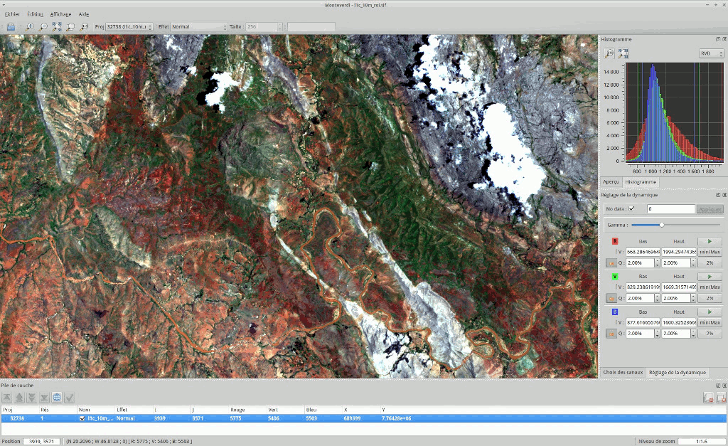
OTB is also shipped with a set of extensible ready-to-use tools for classical remote sensing tasks and a fully integrated application called Monteverdi, which is a fast viewer that allows users to vizualise multiple layers, and call OTB processing tools from a menu entry.
OTB has been funded the French Space Agency (CNES) in the frame of the Methodological Part of the ORFEO/Pleiades Accompaniement Program and has been actively developed since 2006. It is based on the ITK image processing library and is distributed as open source.

Keskeiset ominaisuudet
image access: optimized read/write access for most remote sensing raster formats (also JPEG2000 formats), meta-data access and visualization;
orthorectification using DEM, map reprojection and sensor model refinement
optical and SAR calibration
image fusion
filtering: blurring, denoising, enhancement…
feature extraction: interest points, alignments, lines…
object detection
large scale image segmentation: region growing, mean-shift, watershed, level sets…
sample selection framework for training
classification: both supervised and unsupervised algorithms coming from OpenCV , Shark, libSVM or custom implementations (K-means, Markov random fields, SVM, Random Forest, …)
regression using machine learning methods from OpenCV (SVM, Random Forest, …)
object-based image analysis
geospatial analysis
stereoscopic reconstruction from optical images
SAR data analysis : calibration, polarimetry analysis
change detection.
Lisätiedot
Website: https://www.orfeo-toolbox.org/
Licence: Apache v2.0
Software Version: 8.1.0
Supported Platforms: Linux, Mac, Windows
API Interfaces: C++
Commercial Support: OSGeo service providers
