OSGeoLive

Version: 17.0
Released: August 2025
An Open Source Geospatial GNU/Linux Distribution
Find this presentation
What is new in 17.0
What is new in 17.0
Updated to Lubuntu 24.04.2 LTS
What is new in 17.0
Updated core packages based on DebianGIS
What is new in 17.0
QGIS 3.40.9,
GDAL 3.11.4,
PROJ 9.4.1,
PostGIS 3.5.3,
GRASS 8.4.1,
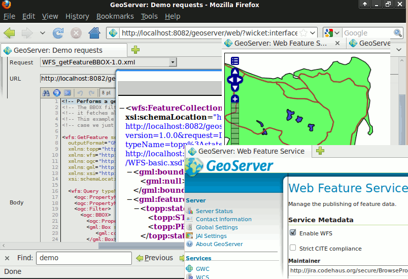
GeoServer 2.27.1,
MapServer 8.4.0,
and many more…
What is new in 17.0
No new projects added in version 17.
What is new in 17.0
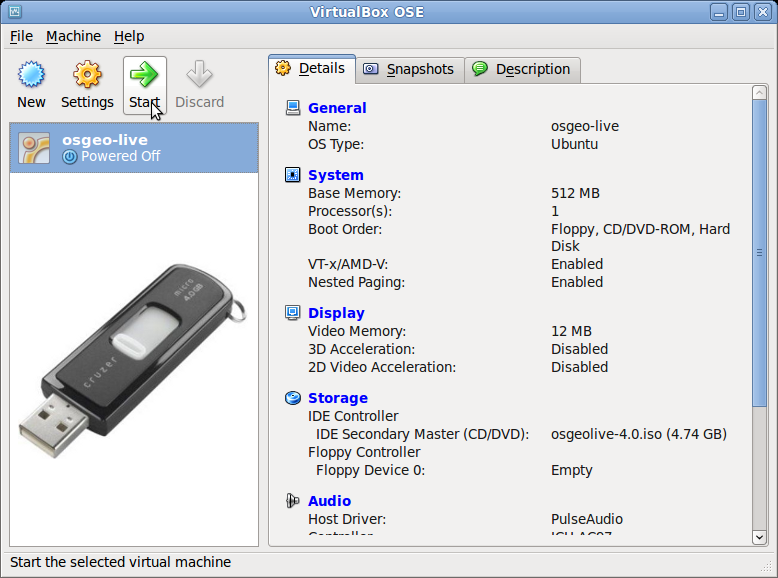
Download OSGeoLive ISO or VMDK (with even more software)
What is new in 17.0
Documentation updates
What is new in 17.0
OSM data for Belém, Brasil on version 17 alpha3 https://2024.foss4g.org/
OSM data for Auckland, New Zealand on version 17 final https://2025.foss4g.org/
What is new in 17.0
Updated packages contributed back to UbuntuGIS
What is new in 17.0
Full changelog
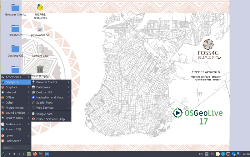
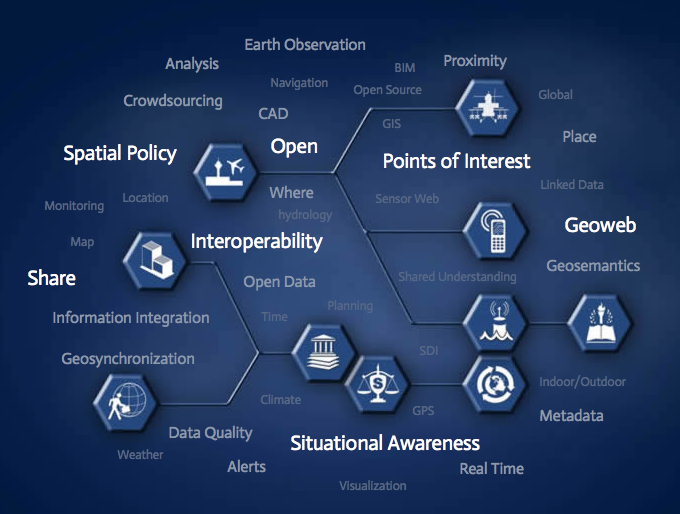
What is OSGeoLive?
Components on OSGeoLive
50+ Open Source Geospatial Applications
Consistent Overviews & Quickstarts
Sample Datasets
Translations
DVD / USB / Virtual Machine
Quality Criteria
Established, stable, working software
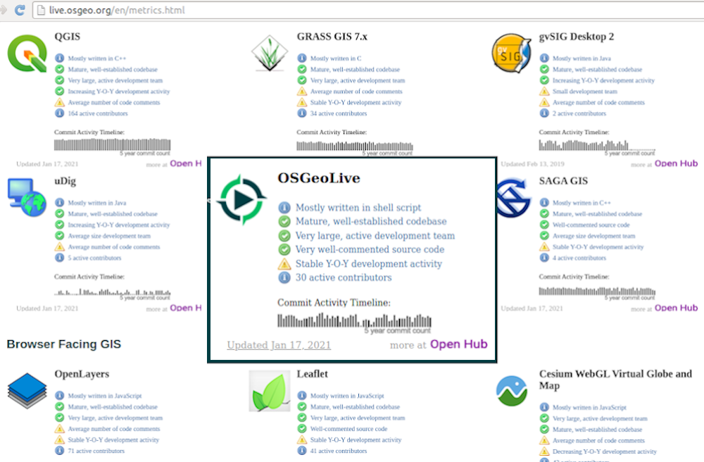
Active community Metrics
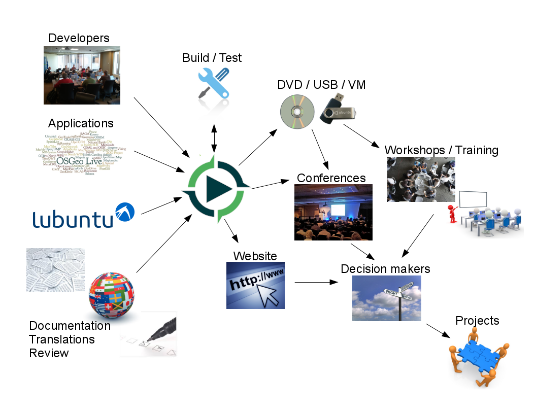
Production & Marketing Pipeline
Open Source Geospatial Foundation (OSGeo)
OSGeo
Non Profit for geospatial community, fostering
Free and Open Source Software
Open Standards
Open Education
Open Research
Open Data
An Open Source Geospatial GNU/Linux Distribution

OGC Standards
Interoperability
Future Proof
Return on Investment
Paikkatiedon työasemaohjelmisto
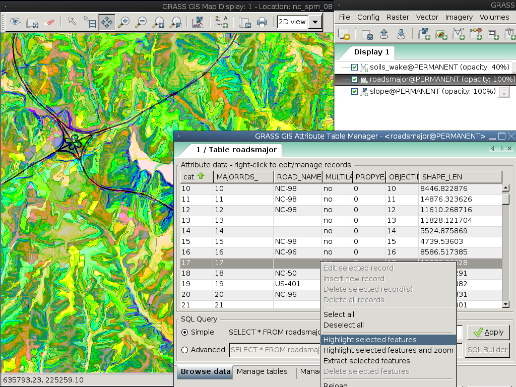
GRASS GIS
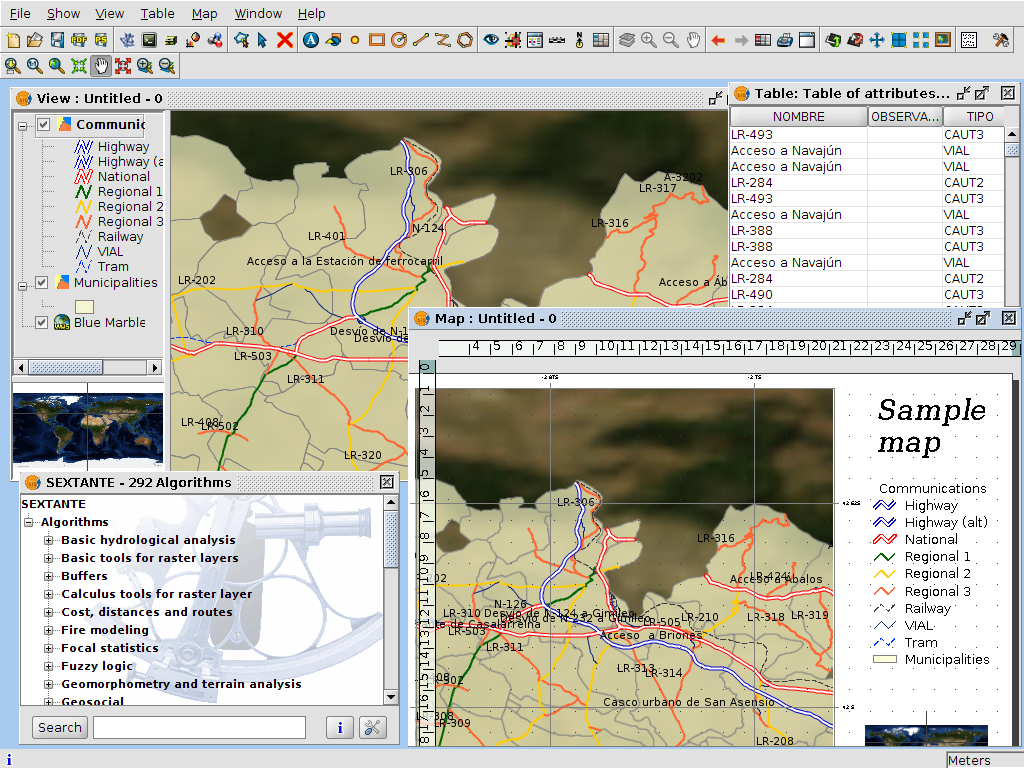
gvSIG Desktop
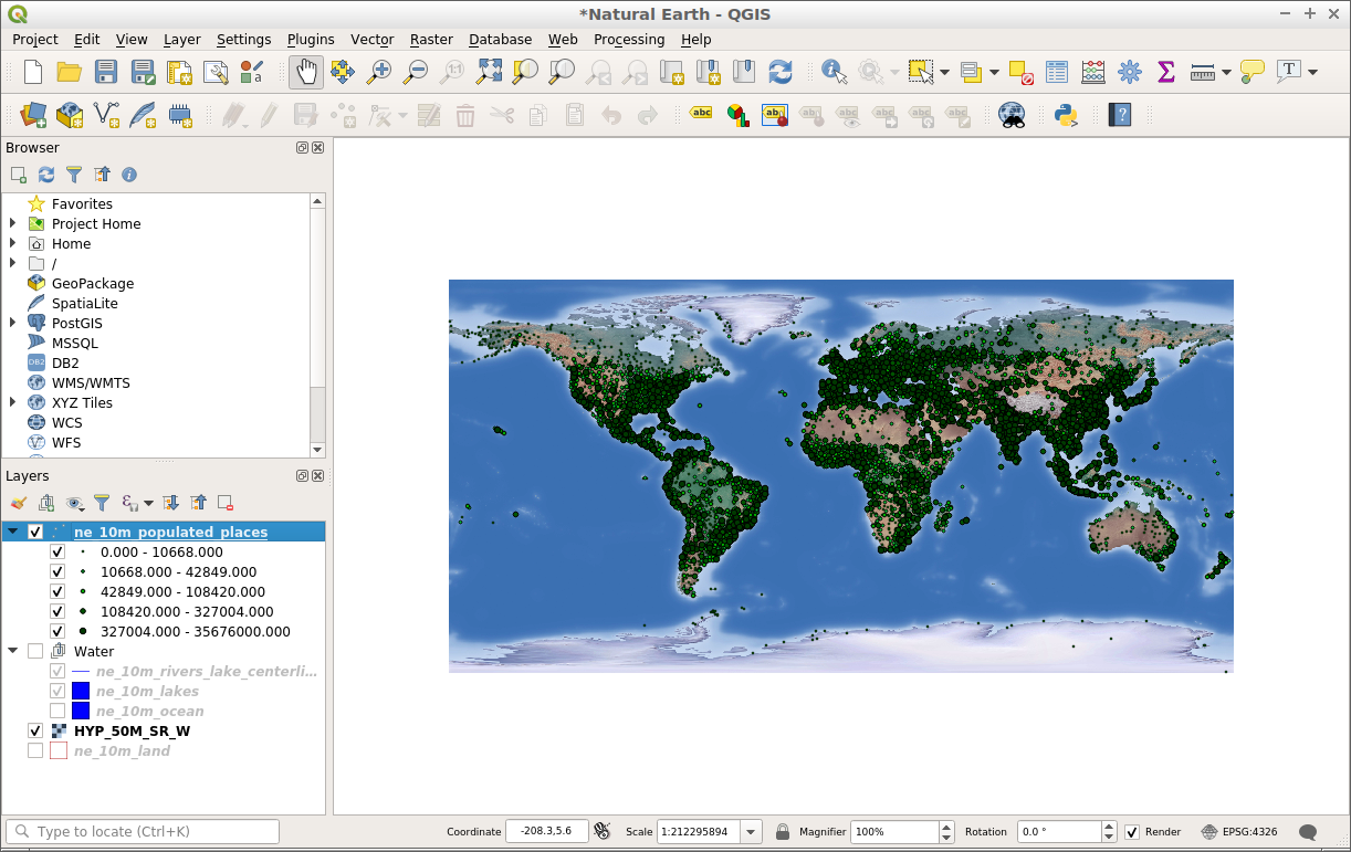
QGIS
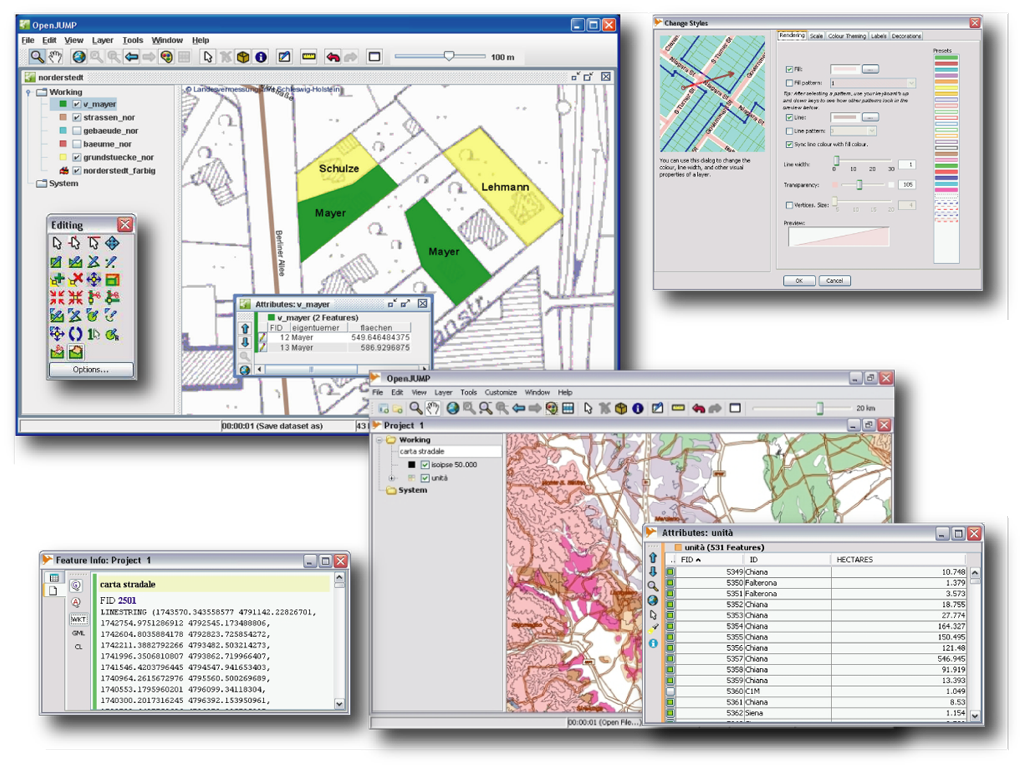
OpenJUMP GIS
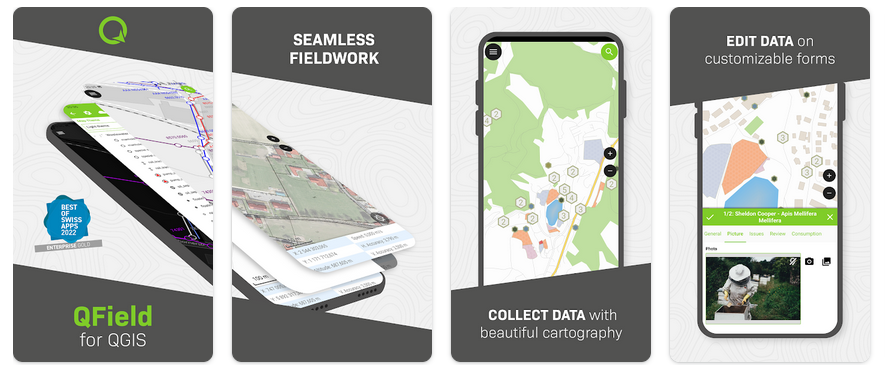
QField
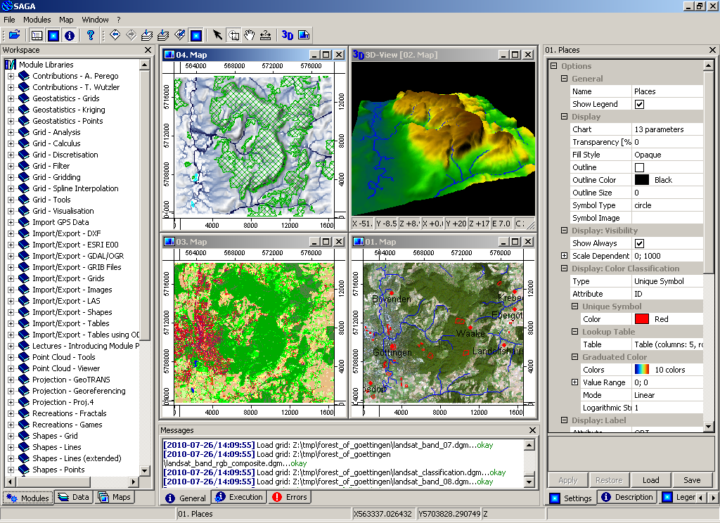
SAGA
GRASS GIS
gvSIG Desktop
QGIS
OpenJUMP GIS
QField
SAGA
Selain pohjainen GIS
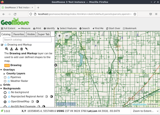
GeoMoose
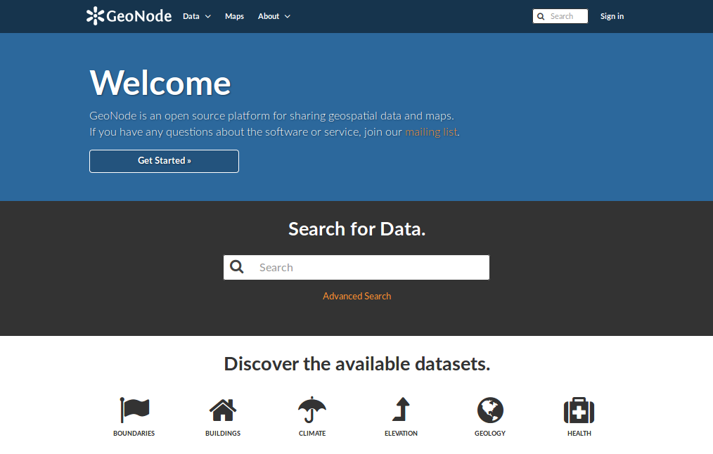
GeoNode
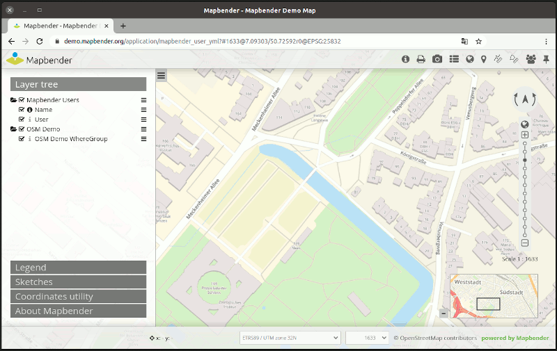
Mapbender
OpenLayers
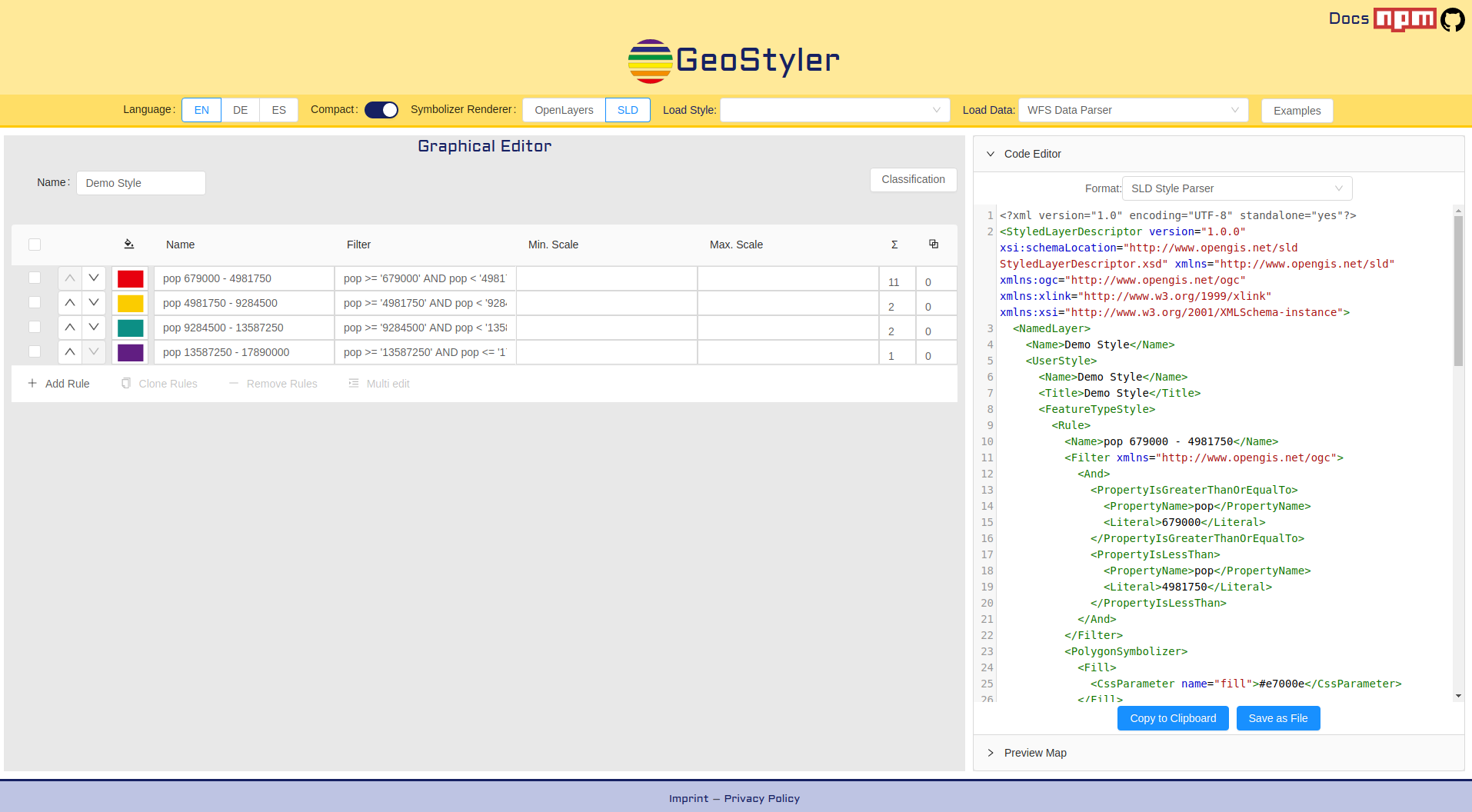
GeoStyler
Cesium
GeoExt
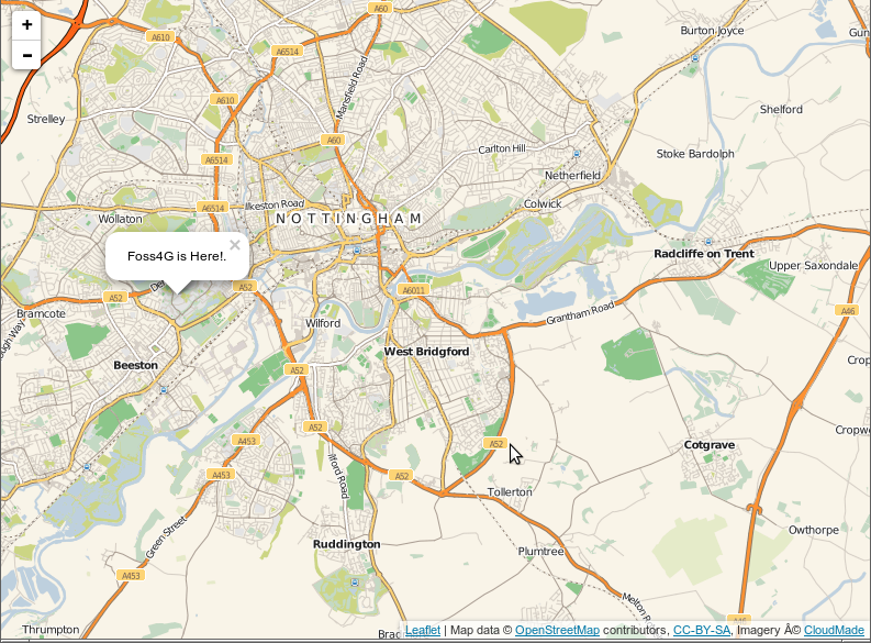
Leaflet
GeoMoose
GeoNode
Mapbender
OpenLayers
GeoStyler
Cesium
GeoExt

Leaflet
Verkkopalvelut
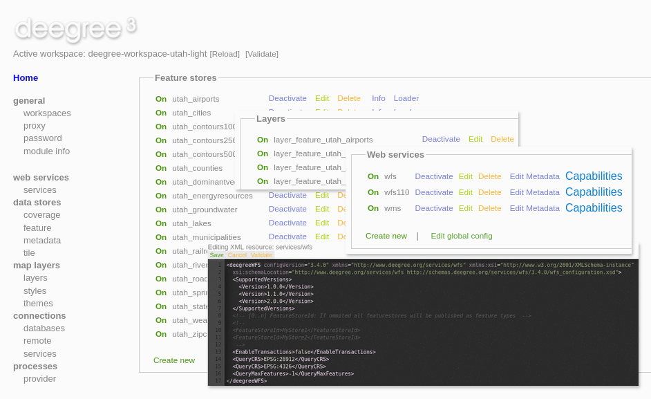
deegree
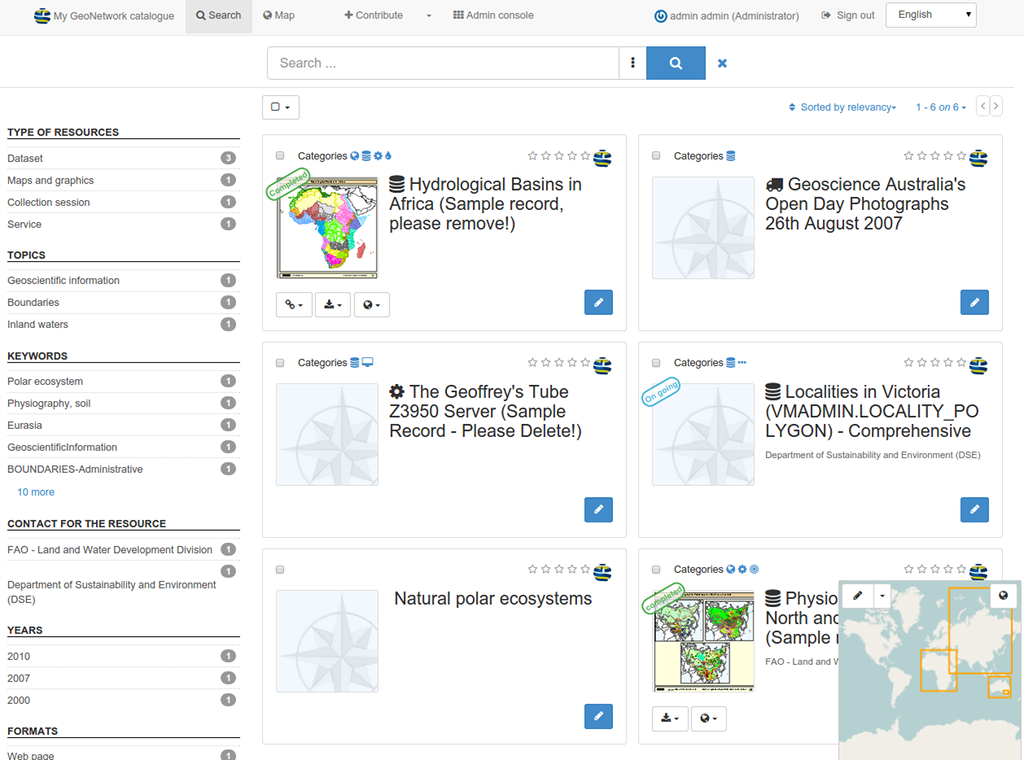
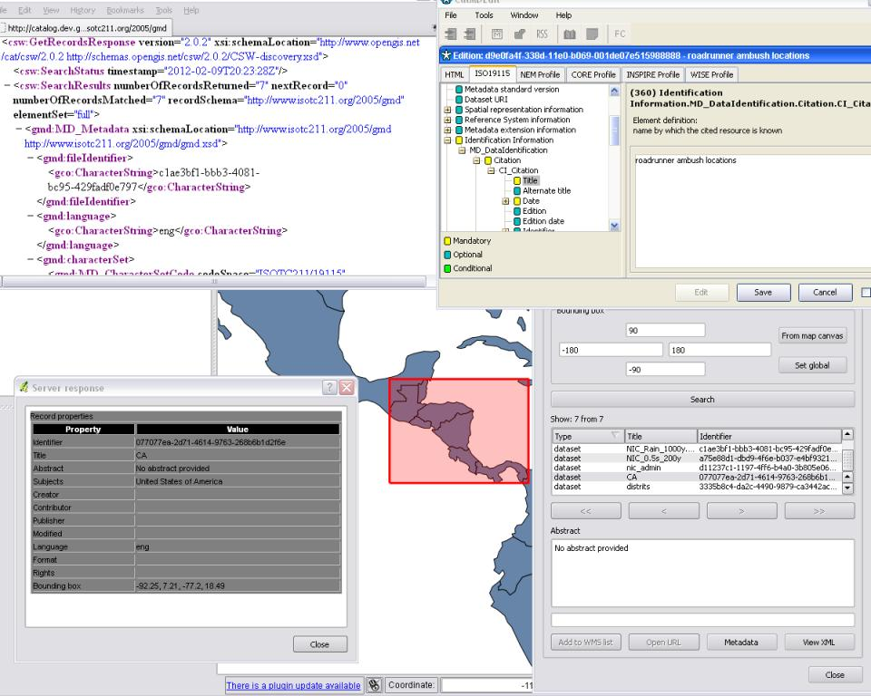
GeoNetwork
GeoServer
MapCache
MapServer
pycsw
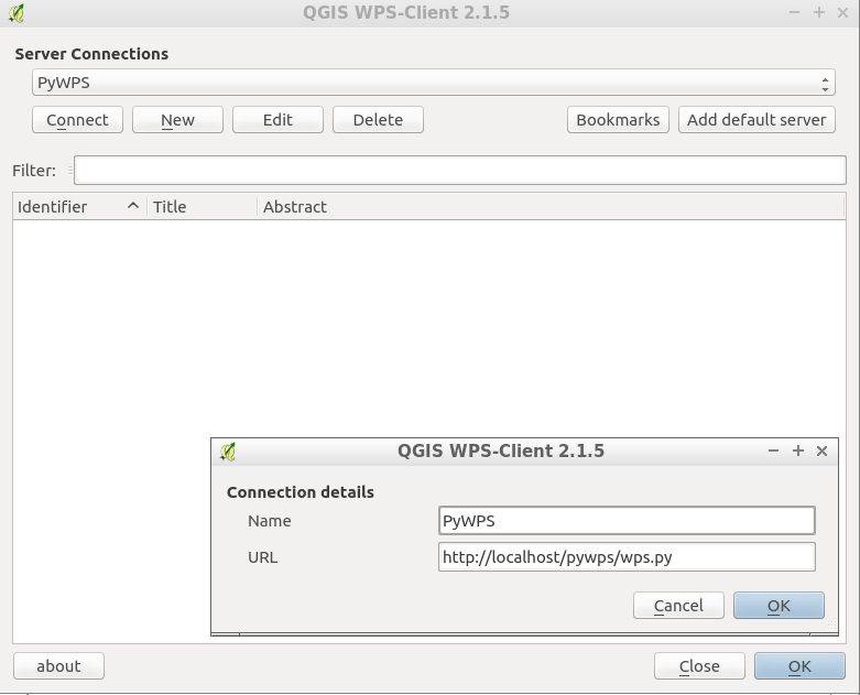
PyWPS
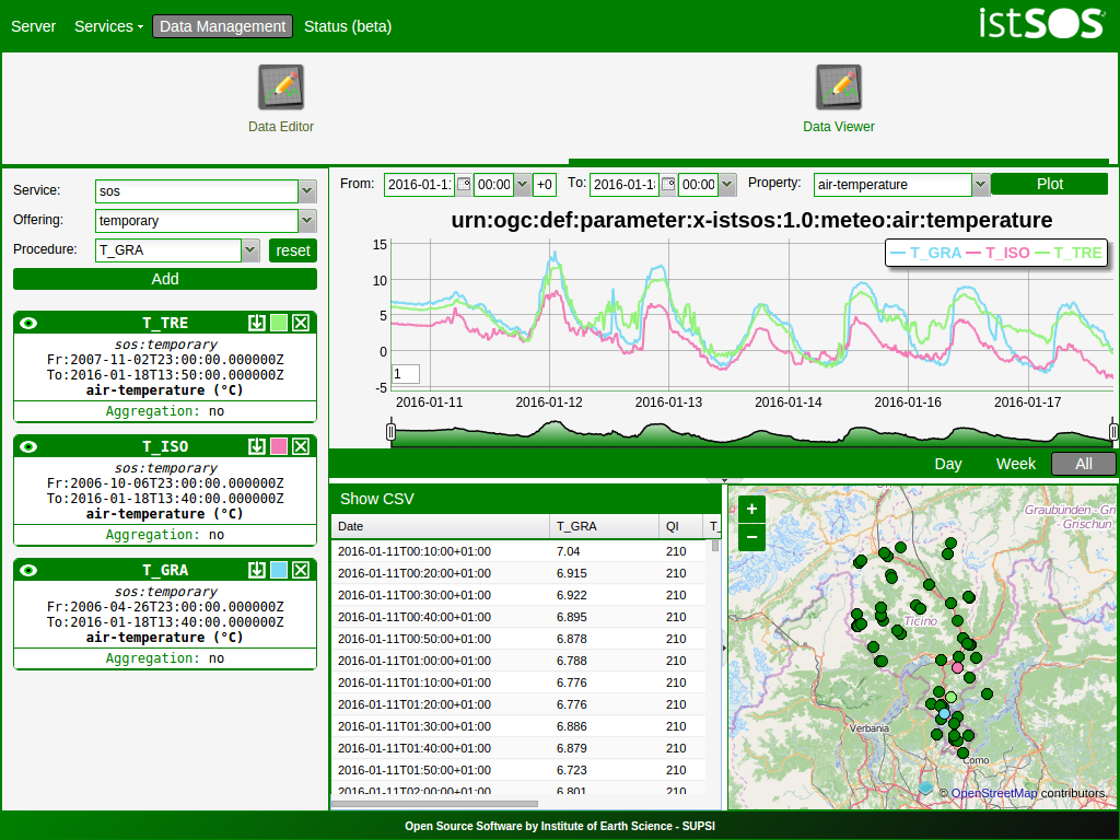
istSOS
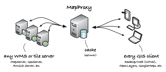
MapProxy
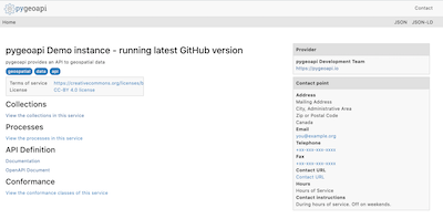
pygeoapi
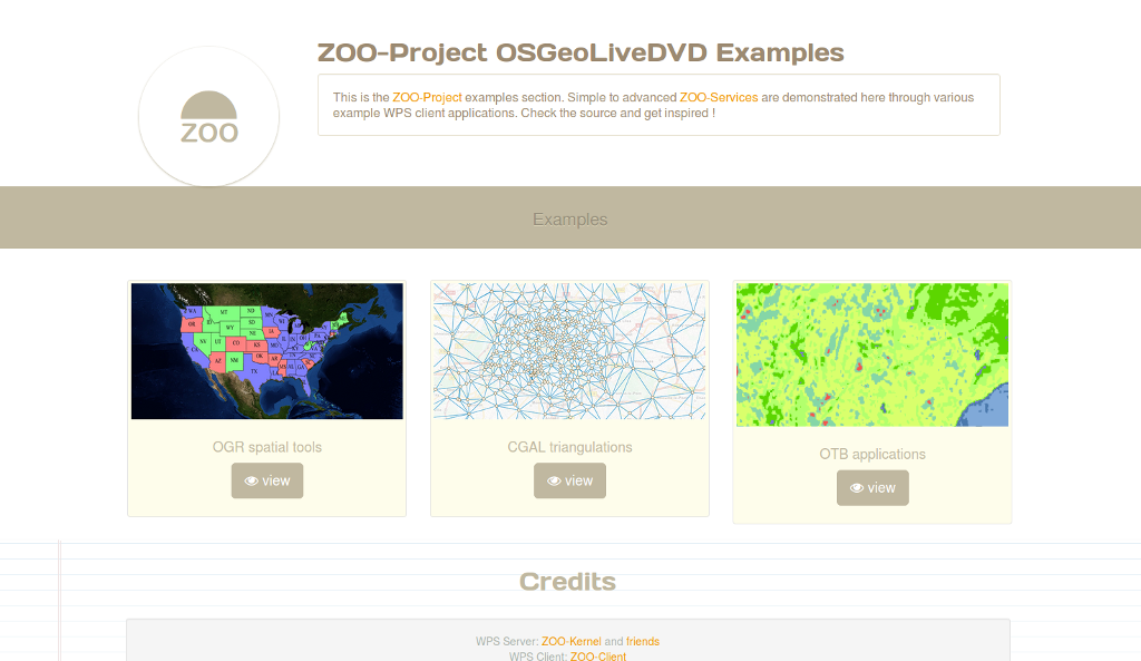
Zoo Project
actinia
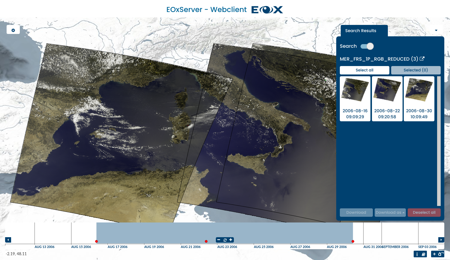
EOxServer
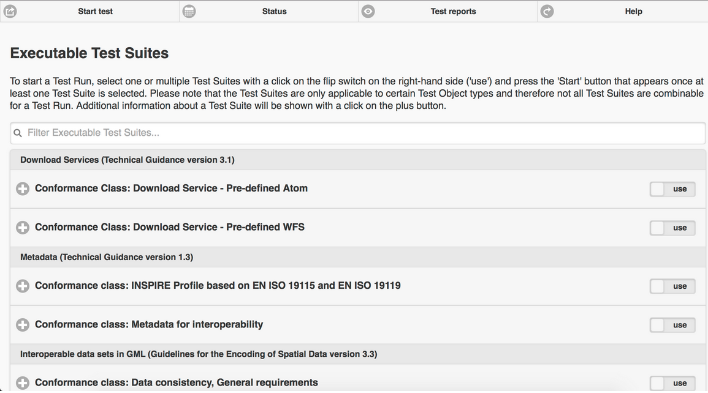
ETF
QGIS Server
Re3gistry
t-rex
52 North SOS
deegree
GeoNetwork
GeoServer
MapCache
MapServer
pycsw
PyWPS
istSOS
MapProxy
pygeoapi
Zoo Project
actinia
EOxServer
ETF
QGIS Server
Re3gistry
t-rex
52 North SOS
Tietovarastot
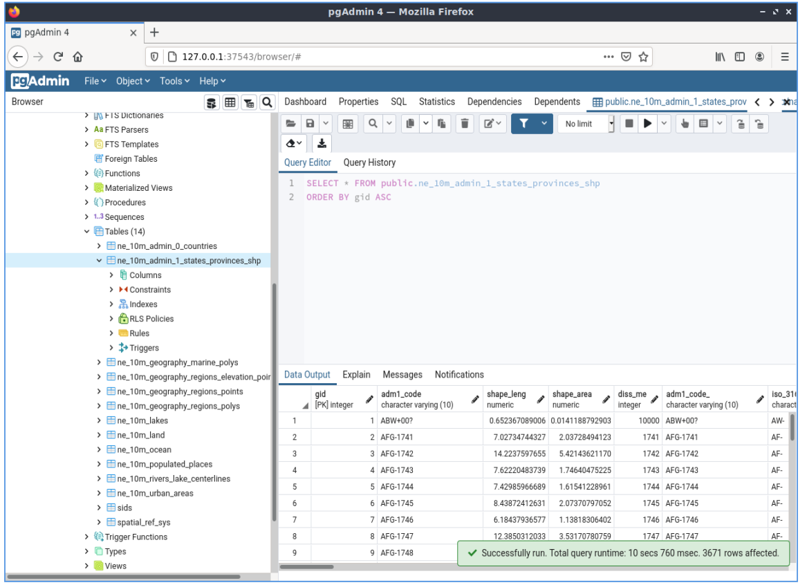
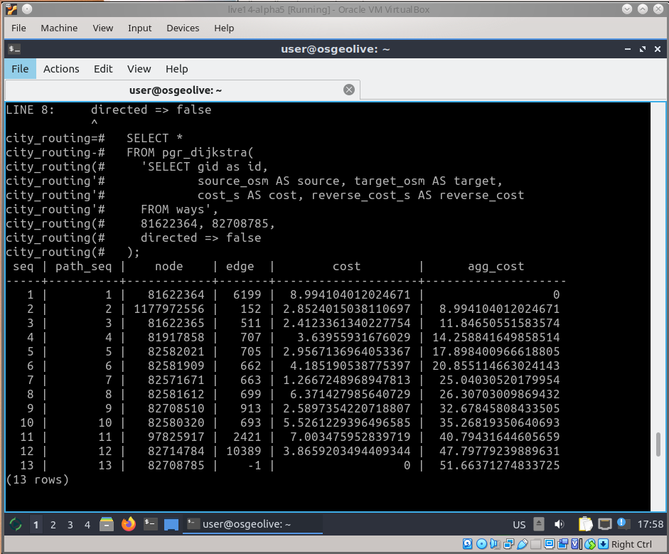
PostGIS
pgRouting
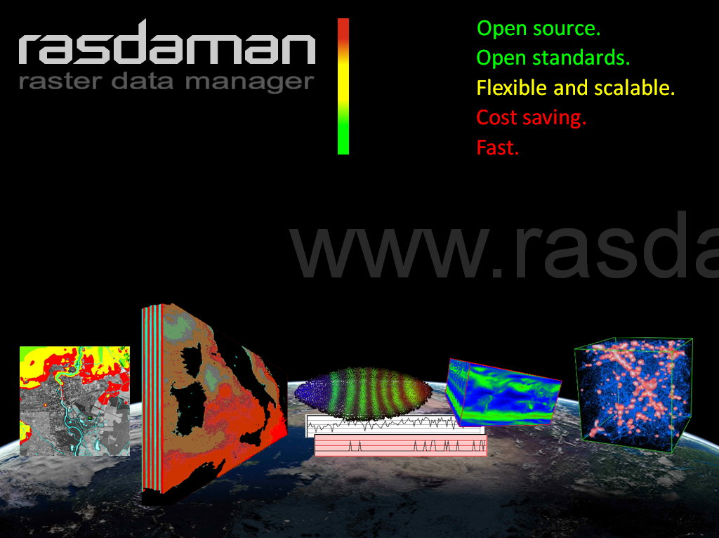
Rasdaman
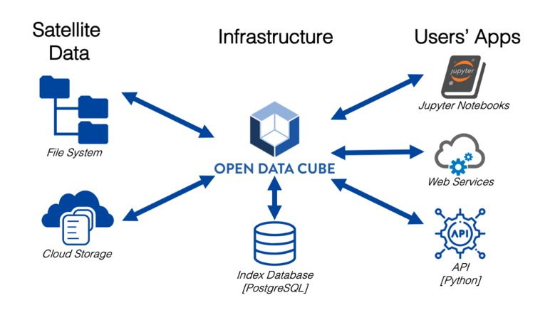
Open Data Cube
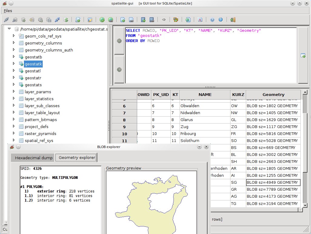
SpatiaLite
PostGIS
pgRouting
Rasdaman
Open Data Cube
SpatiaLite
Navigointi ja kartat
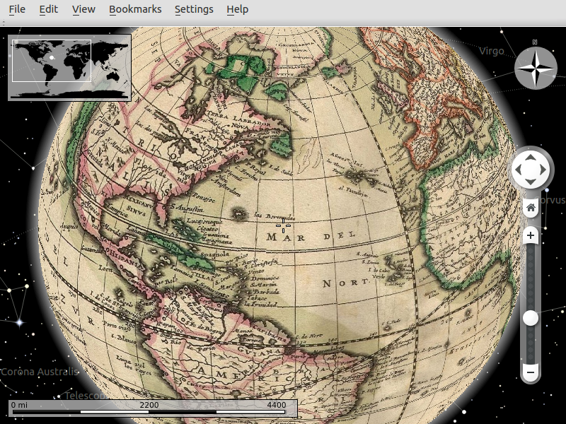
Marble
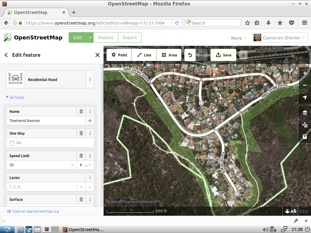
iD editor
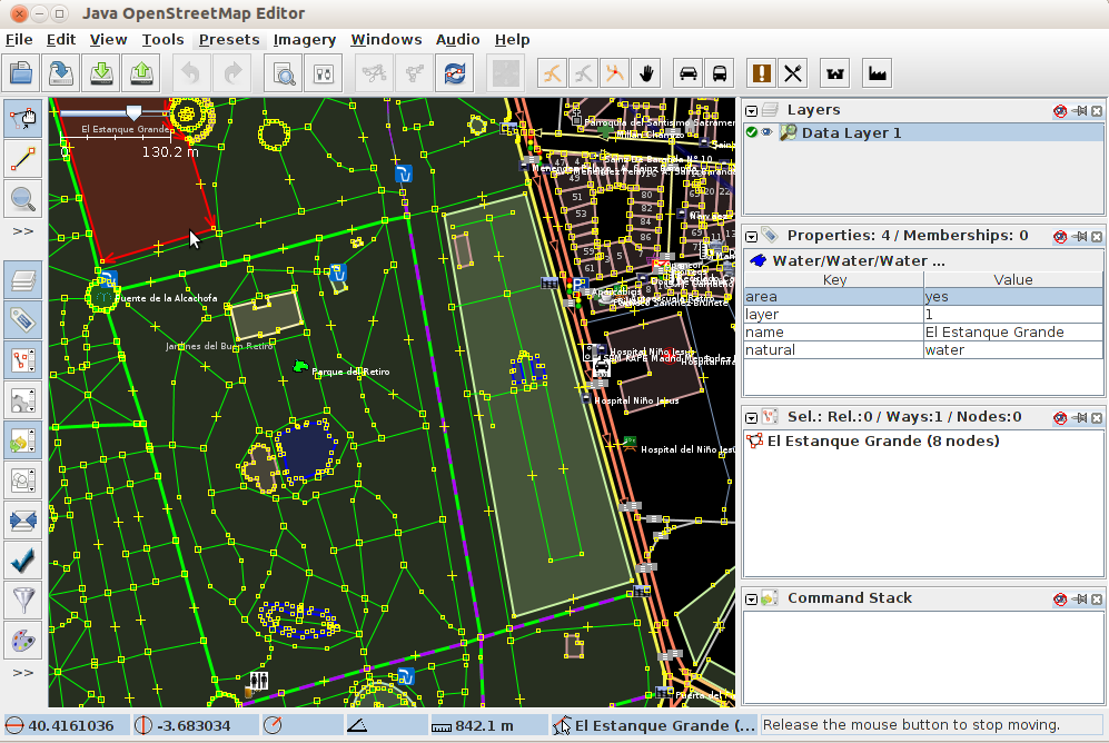
JOSM
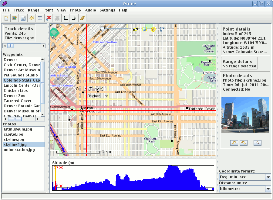
GpsPrune
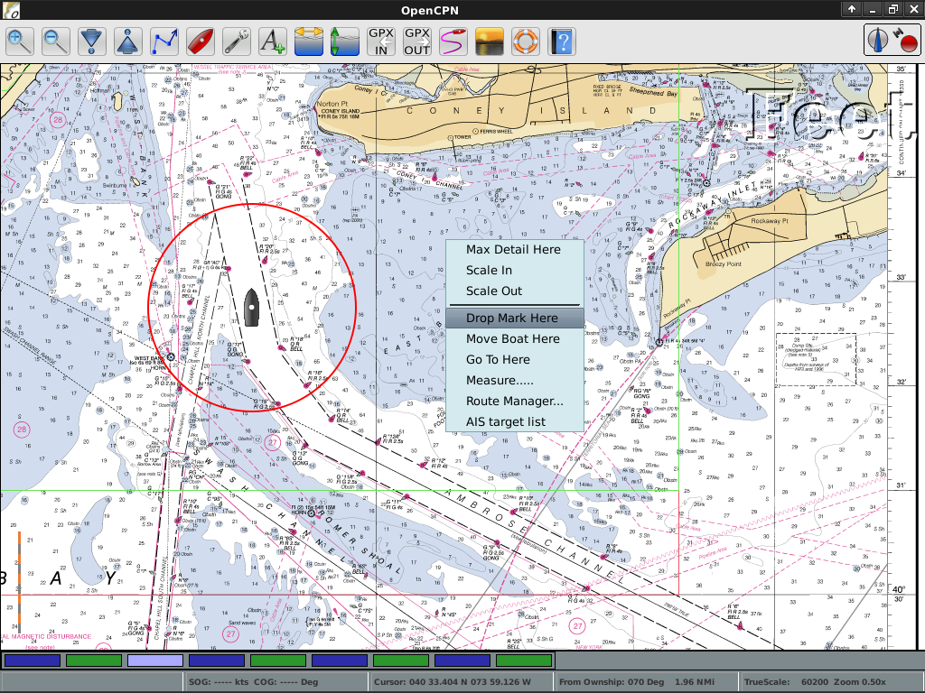
OpenCPN
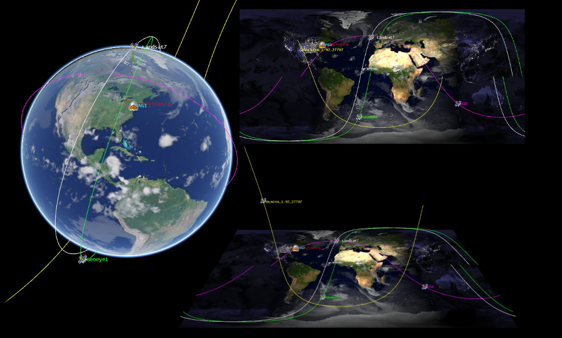
OpenStreetMap
Marble
iD editor
JOSM
GpsPrune
OpenCPN
OpenStreetMap

Paikkatietovälineet
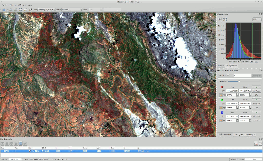
OTB
GMT
Jupyter Notebook
Mapnik
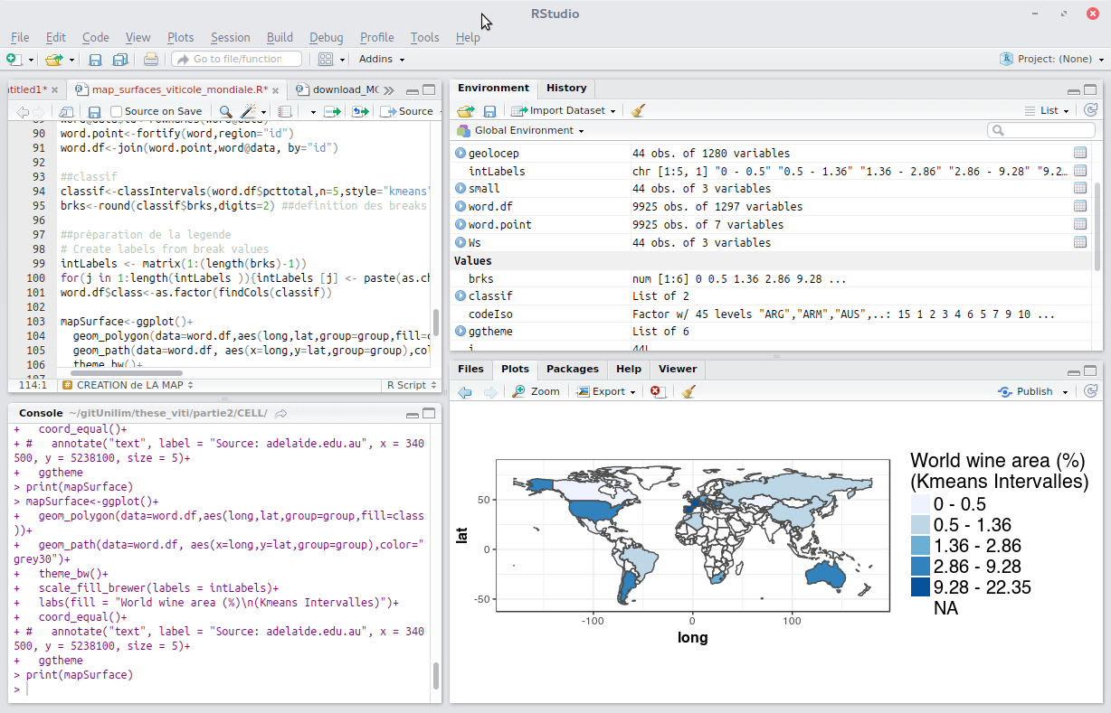
R
OTB
GMT
Jupyter Notebook
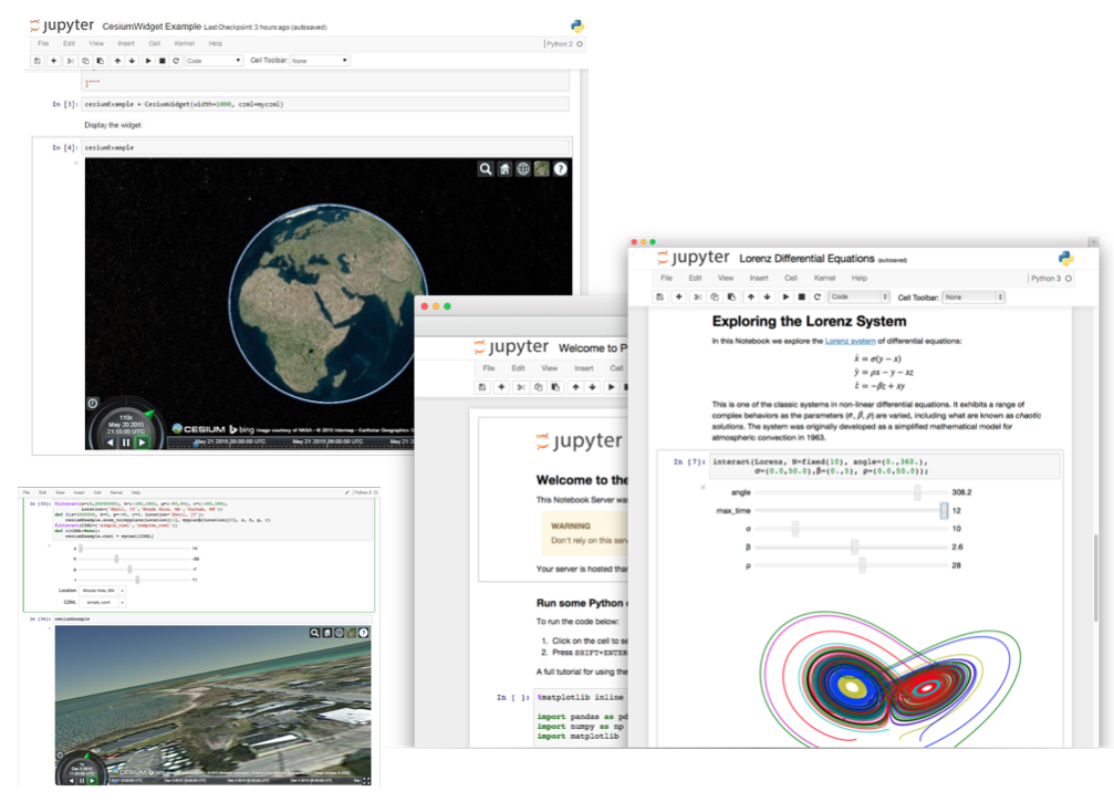
Mapnik
R
Erityisalojen paikkatietosovellukset
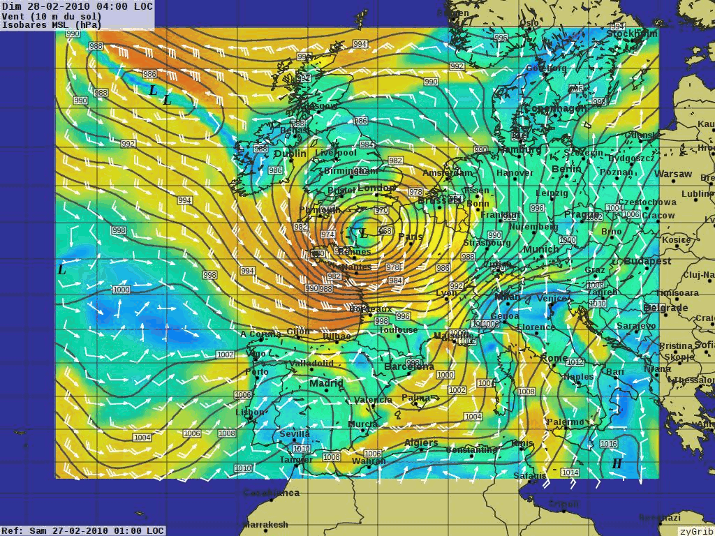
XyGrib
XyGrib
Tiedot
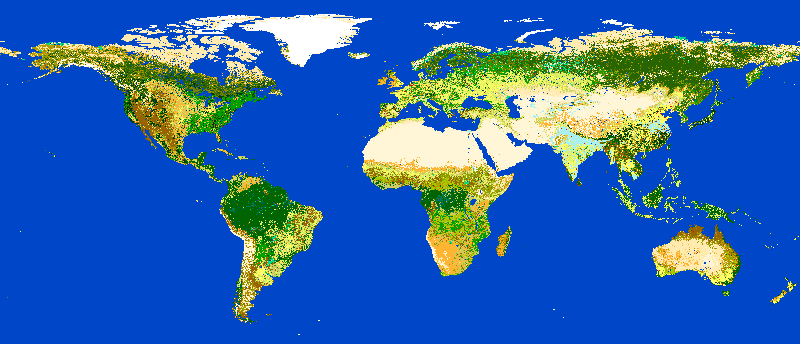
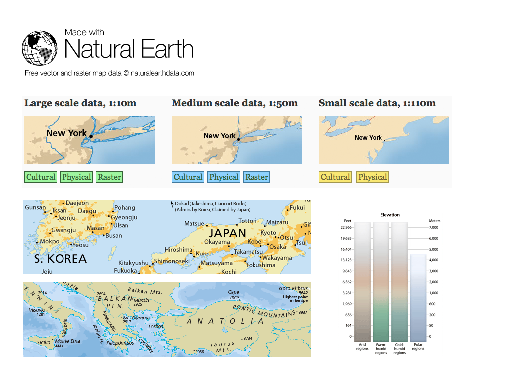
Natural Earth
North Carolina USA Educational dataset
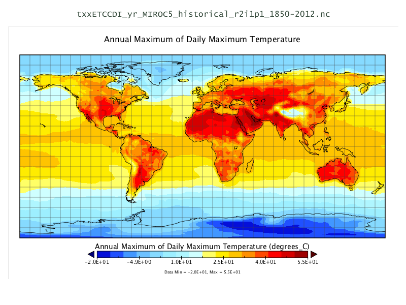
NetCDF Data Set
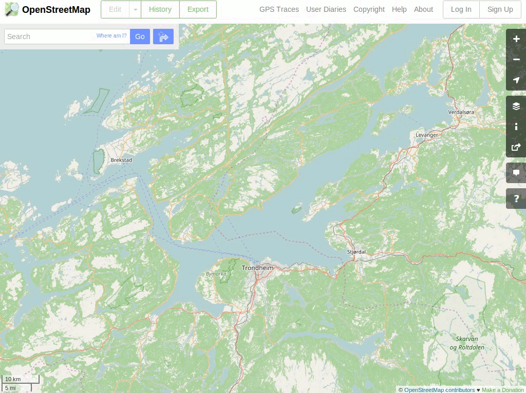
OpenStreetMap
Natural Earth
North Carolina USA Educational dataset
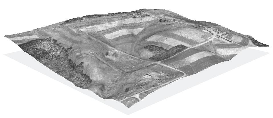
NetCDF Data Set
OpenStreetMap
Paikkatietokirjastot
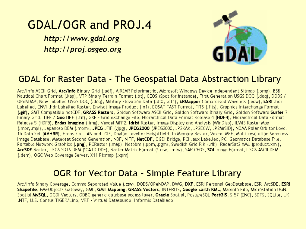
GDAL/OGR
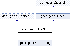
GEOS
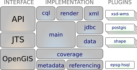
GeoTools
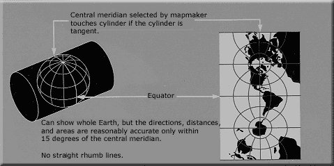
PROJ
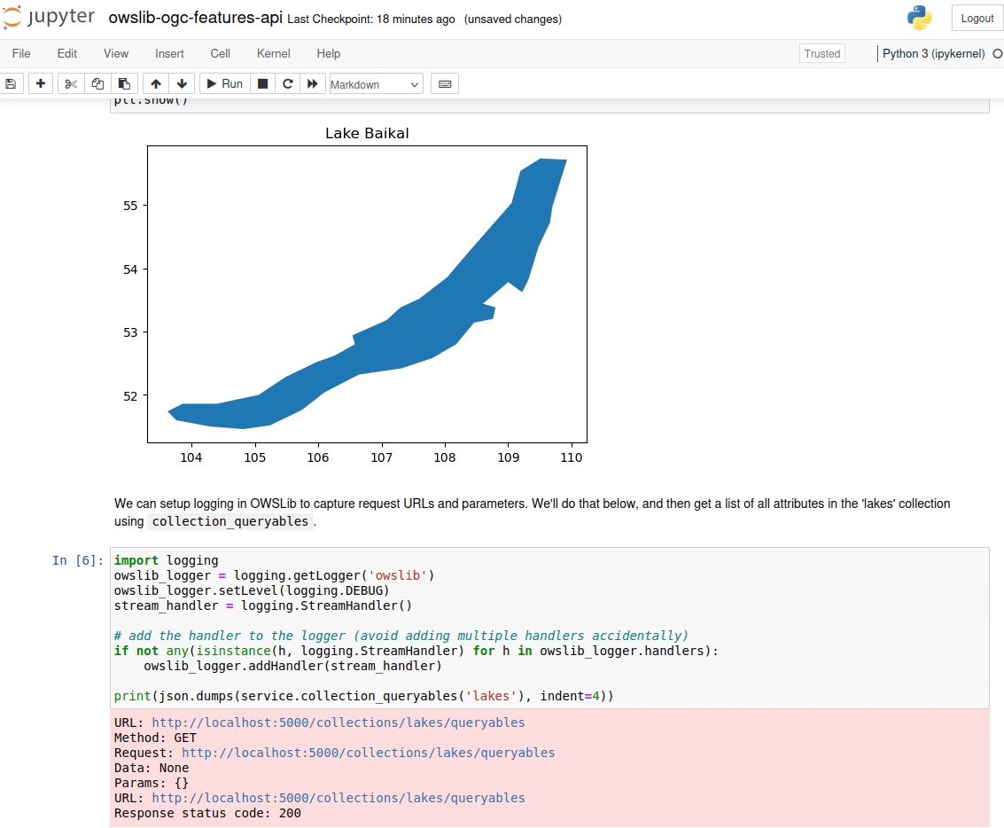
OWSLib
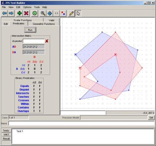
JTS
GDAL/OGR
GEOS
GeoTools
PROJ
OWSLib
JTS
Credits
Developers and project maintainers
Authors and reviewers of the documentation
Kääntäjät
Project Steering Committee
Angelos Tzotsos (Chair)
Brian M Hamlin
Alex Mandel
Johan Van de Wauw
Bas Couwenberg
Massimo De Stefano
Astrid Emde
Nicolas Roelandt
Vicky Vergara
Enock Seth Nyamador
Get involved
Become a member of our team
Join our Mailing List and introduce yourself
Discuss with us on Discourse
Take part in our meetings
There are two ways you can help
Help improve OSGeoLive website and documentation
Submit new projects
Improving OSGeoLive Documentation
Proof-read, test and correct Quickstarts and Overviews
There is a good possibility to get to know cool software!
Translate and improve the documentation
Translation is made in OSGeo Weblate
Local Chapters can easily get involved here
No technical experience necessary
Try out OSGeoLive
Cloud deployments
Try out OSGeoLive
Try out OSGeoLive
Join us at the FOSS4G Europe Community Sprint on Saturday/Sunday in Mostar
19.-20. of July 2025
Everyone is welcome!
Sponsors
OSGeo |
UCD ICE |
DebianGIS |
|
|
|


Try out OSGeoLive