
Muista
This project is only included on the OSGeoLive virtual machine disk (VMDK)
Zoo projektin pika-aloitus
ZOO-projekti tarjoaa kehittäjäystävällisen Web Processing Service (WPS) -rakenteet WPS:n luomiseen ja ketjuttamiseen. WPS tarjoaa verkossa pääsyn toimintoihin jotka suorittavat paikkatietoalgoritmeja.
Sisältö
Start ZOO-Project
From the Start menu, select .
Firefox will open the ZOO Project demonstration landing page. From here, you can select a demon application.
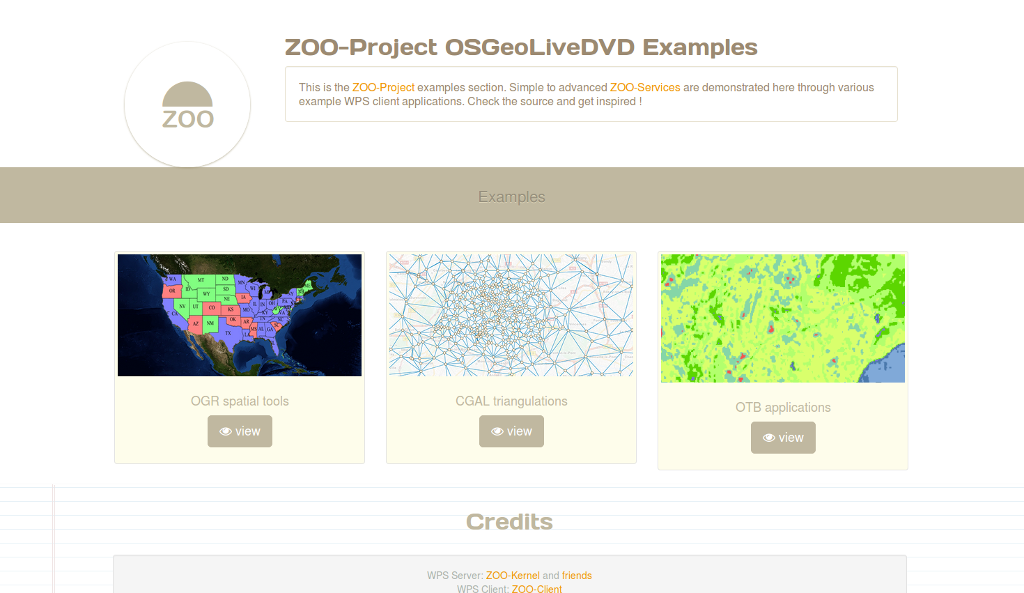
OGR spatial tools demo
On the ZOO Project demonstration landing page, click view on OGR spatial tools.
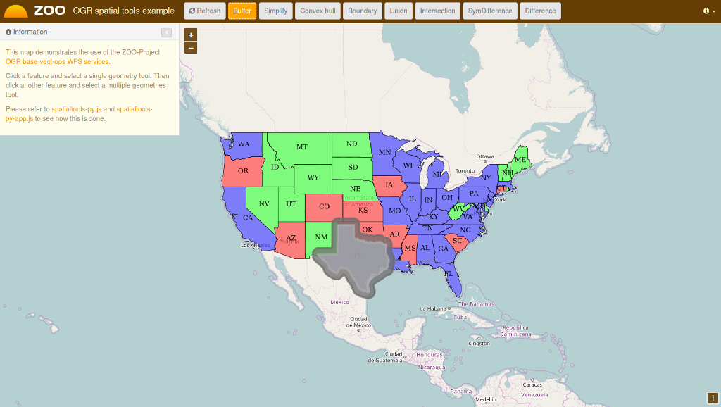
Click on the map to select a feature from the GeoServer WFS Server, the feature will be displayed in blue.
Click on simple geometry process like Buffer, Centroid, ConvexHull or Boundary and the result will be displayed in yellow.
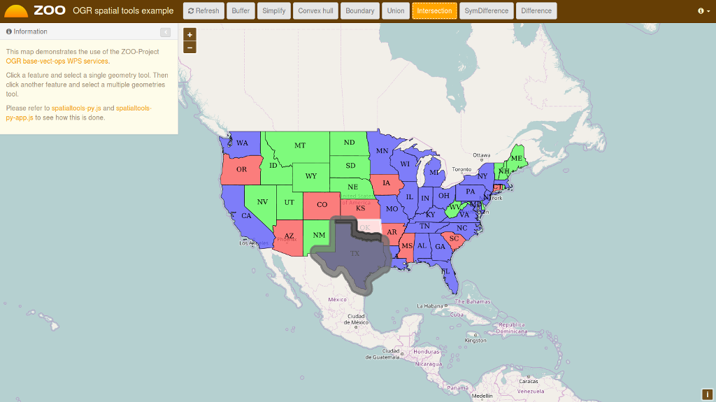
Now select another feature near the first you’ve selected, then click on a multiple geometries process button like Union, Intersection, Symmetric Difference or Difference to get the result displayed in red on the map.
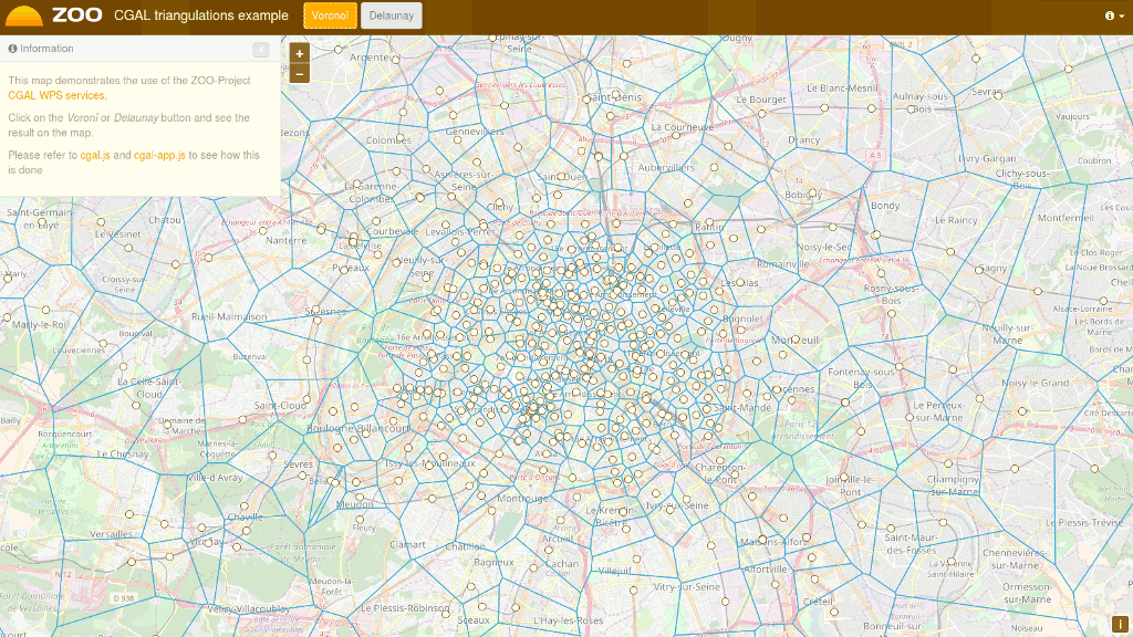
CGAL triangulations demo
OTB Applications demo
On the ZOO Project demonstration landing page, click view on OTB application.
Fill the form on the left to configure the WPS service execution.
Once you have selected the values for your processing, press the Execute button at the bottom of the left form.
If you chose image/png as the output format, you will see the result of your processing displayed on the map. You can see below a sample KMeansClassification execution when selecting the image/png output format.

Mitä seuraavaksi?
- Voit käyttää ZOO WPS -palvelimen ominaisuuksia:
http://localhost/cgi-bin/zoo_loader.cgi?Request=GetCapabilities&Service=WPS
Lisäkysymyksillä voit ottaa yhteyttä Zoo Projektin postituslistalla: zoo-discuss@lists.osgeo.org

