Welcome to OSGeoLive 17.0

OSGeoLive is a self-contained bootable DVD, USB thumb drive or Virtual Machine based on Lubuntu, that allows you to try a wide variety of open source geospatial software without installing anything. It is composed entirely of free software, allowing it to be freely distributed, duplicated and passed around.
It provides pre-configured applications for a range of geospatial use cases, including storage, publishing, viewing, analysis and manipulation of data. It also contains sample datasets and documentation.
To try out the applications, simply:
Insert DVD or USB thumb drive in computer or virtual machine.
Reboot computer. (verify boot device order if necessary)
Press “Enter” to startup & login.
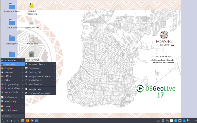
Select and run applications from the “Geospatial” menu.
OSGeoLive is an OSGeo Foundation project. The OSGeo Foundation is a not-for-profit supporting Geospatial Open Source Software development, promotion and education.
Quick Starts
Presentation
A half hour presentation, highlighting all OSGeoLive applications, is available with slides, script