OSGeoLive

Version: 17.0
Released: August 2025
オープンソースの地理空間 GNU/Linux ディストリビューション
このプレゼンテーションを見つける
What is new in 17.0
What is new in 17.0
Updated to Lubuntu 24.04.2 LTS
What is new in 17.0
DebianGIS をベースにしたコアパッケージの更新
What is new in 17.0
QGIS 3.40.9,
GDAL 3.11.4,
PROJ 9.4.1,
PostGIS 3.5.3,
GRASS 8.4.1,
GeoServer 2.27.1,
MapServer 8.4.0,
などなど...
What is new in 17.0
No new projects added in version 17.
What is new in 17.0
OSGeoLiveのISOまたはVMDK(さらに多くのソフトウェアを同梱)のダウンロード
What is new in 17.0
ドキュメントの更新
What is new in 17.0
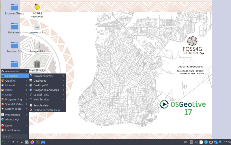
OSM data for Belém, Brasil on version 17 alpha3 https://2024.foss4g.org/
OSM data for Auckland, New Zealand on version 17 final https://2025.foss4g.org/
What is new in 17.0
更新されたパッケージは UbuntuGIS にコントリビュートされます。
What is new in 17.0
完全な 変更履歴
OSGeoLiveとは?
OSGeoLiveの構成要素
50種類以上のオープンソースの地理空間アプリケーション
一貫性のあるオーバービューとクイックスタート
サンプルデータセット
翻訳
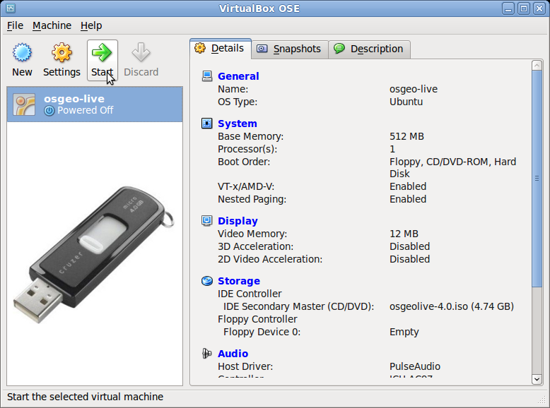
DVD / USB / 仮想マシン
品質保証
確立され、安定し、動作するソフトウェア
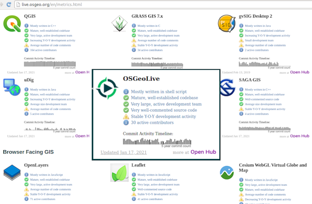
活発なコミュニティの メトリクス
プロダクション & マーケティング パイプライン

オープンソース地理空間財団 (OSGeo)
OSGeo
地理空間コミュニティのための非営利団体で、以下を育成
フリー・オープンソースソフトウェア
オープンな標準規格
オープン教育
オープンリサーチ
オープンデータ
オープンソースの地理空間 GNU/Linux ディストリビューション

OGC 標準規格
相互運用性
将来安定性
投資対効果
デスクトップ GIS
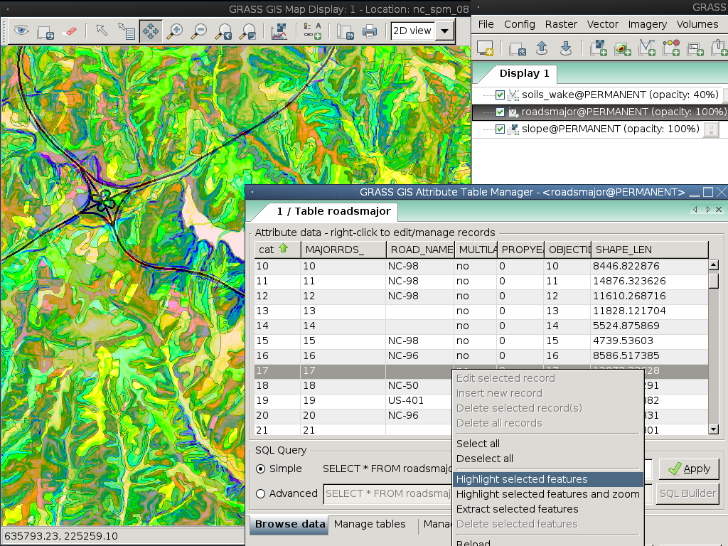
GRASS GIS
gvSIG デスクトップ
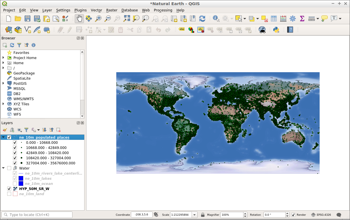
QGIS
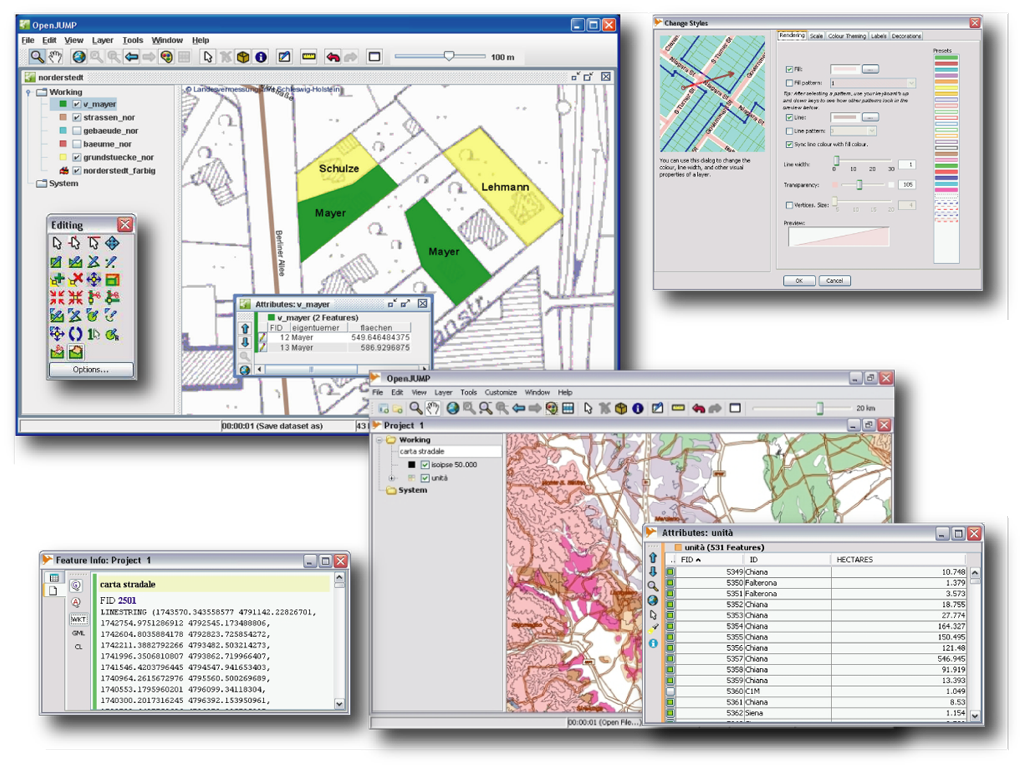
OpenJUMP GIS
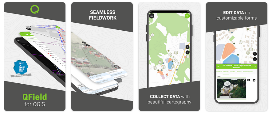
QField
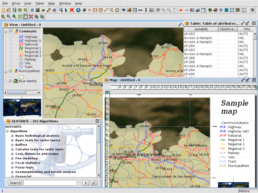
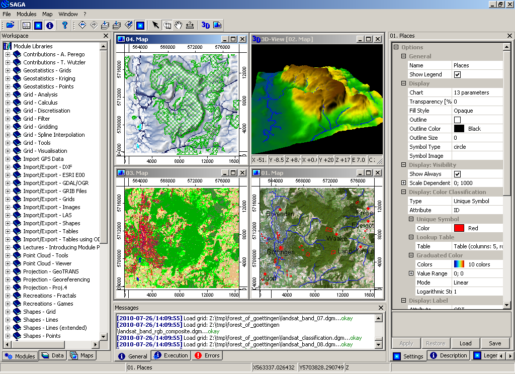
SAGA
GRASS GIS
gvSIG デスクトップ
QGIS
OpenJUMP GIS
QField
SAGA
ブラウザ向け GIS
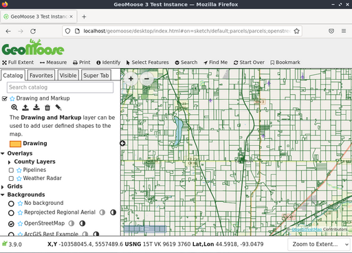
GeoMoose
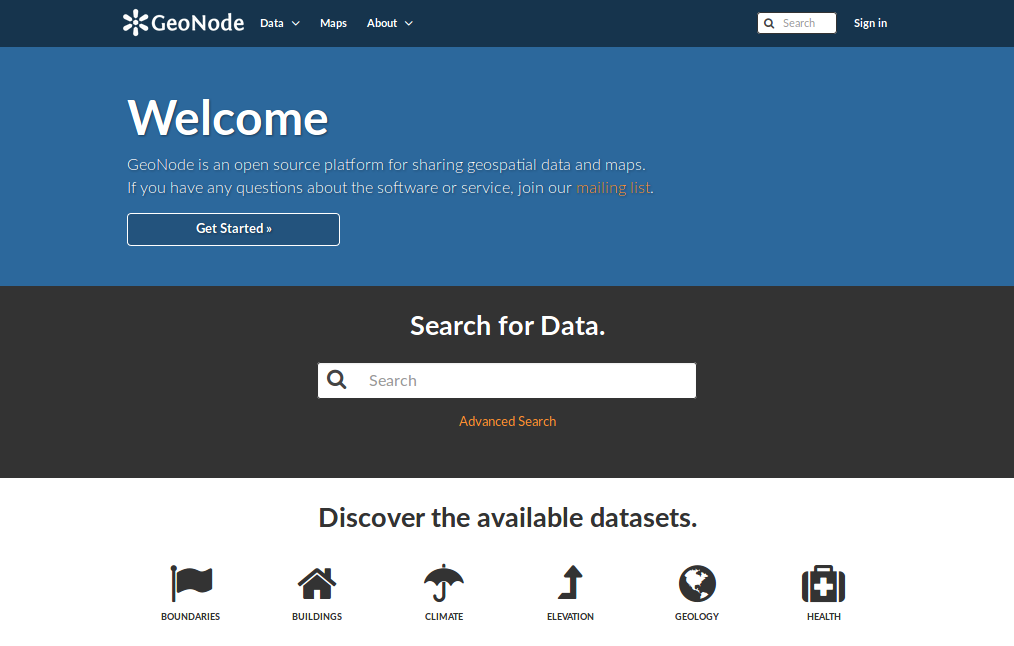
GeoNode
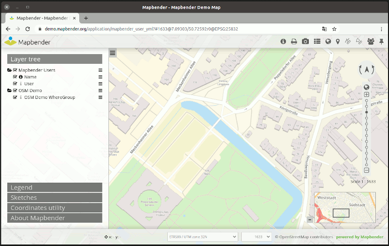
Mapbender
OpenLayers
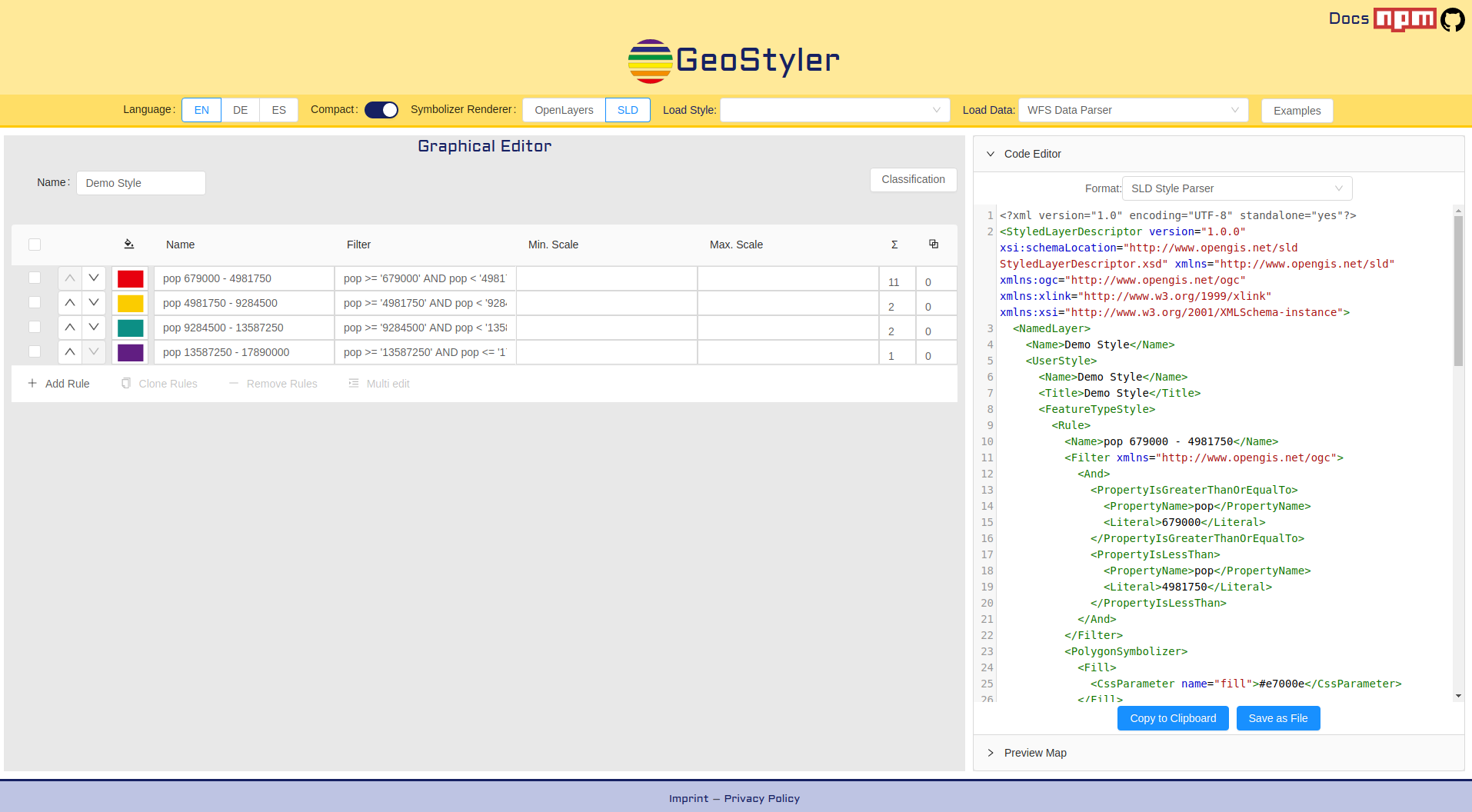
GeoStyler
Cesium
GeoExt
Leaflet
GeoMoose
GeoNode
Mapbender
OpenLayers
GeoStyler
Cesium
GeoExt

Leaflet
Web サービス
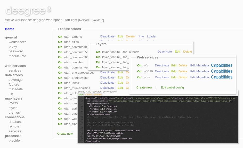
deegree
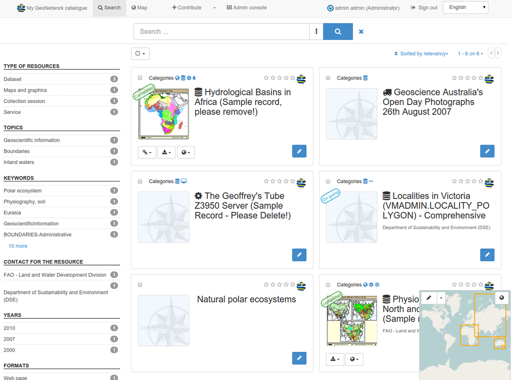
GeoNetwork
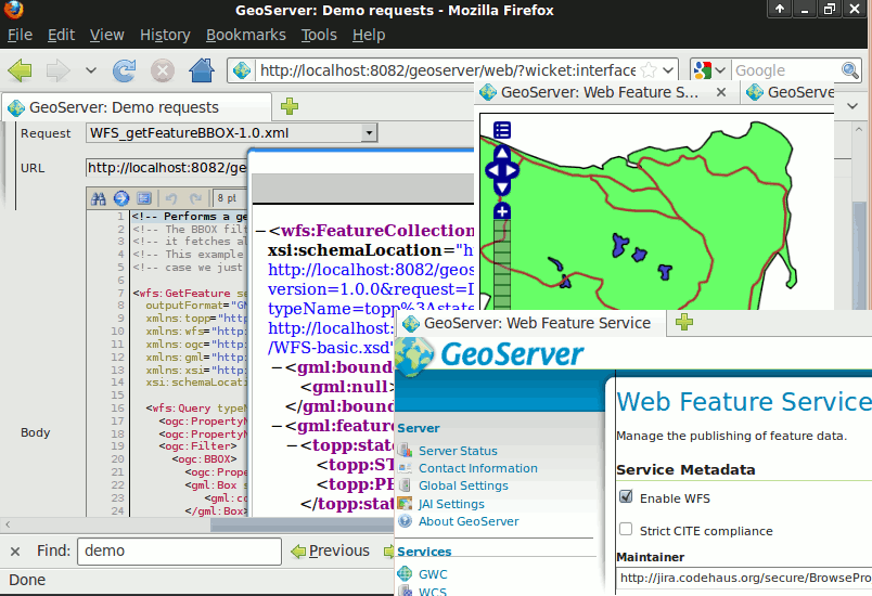
GeoServer
MapCache
MapServer
pycsw
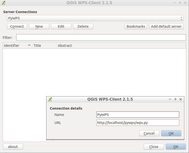
PyWPS
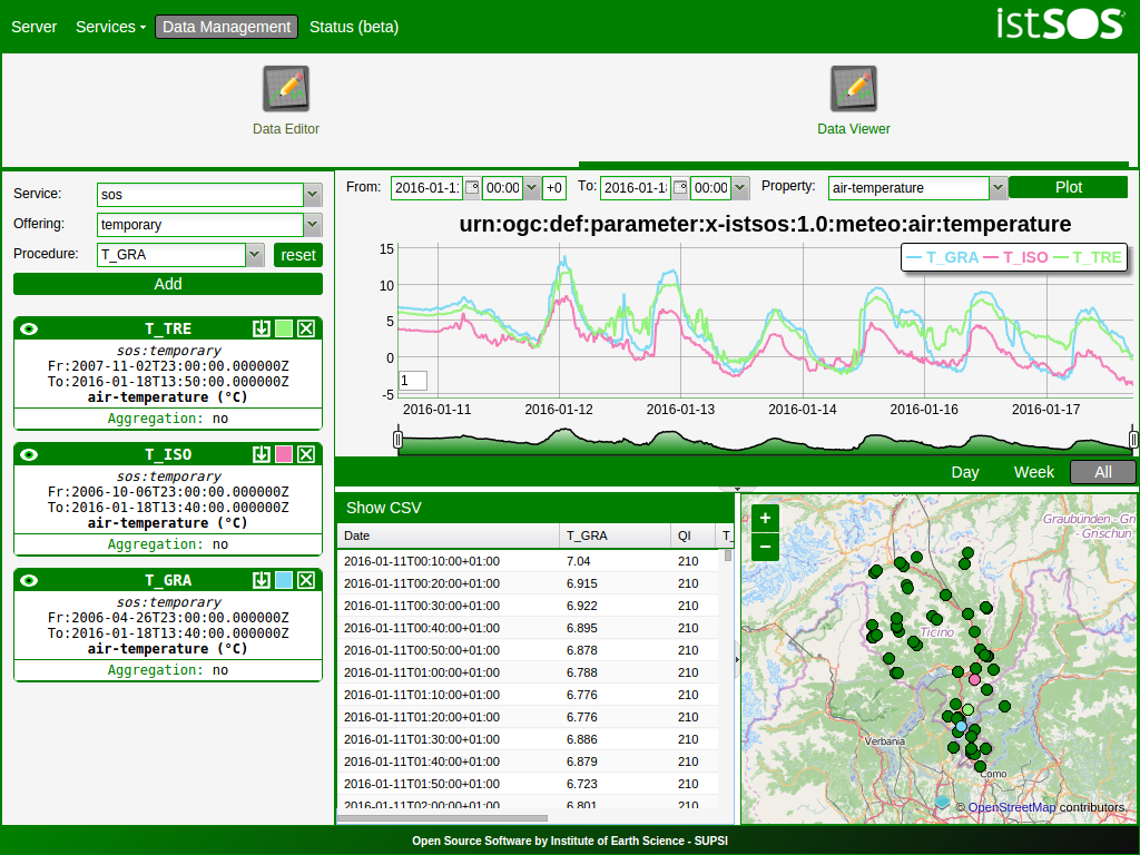
istSOS
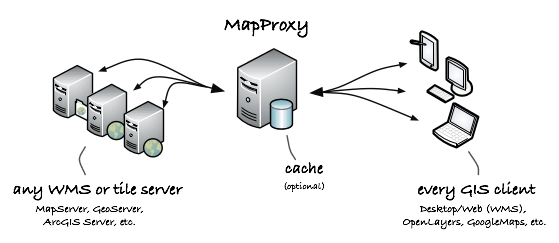
MapProxy
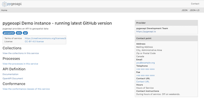
pygeoapi
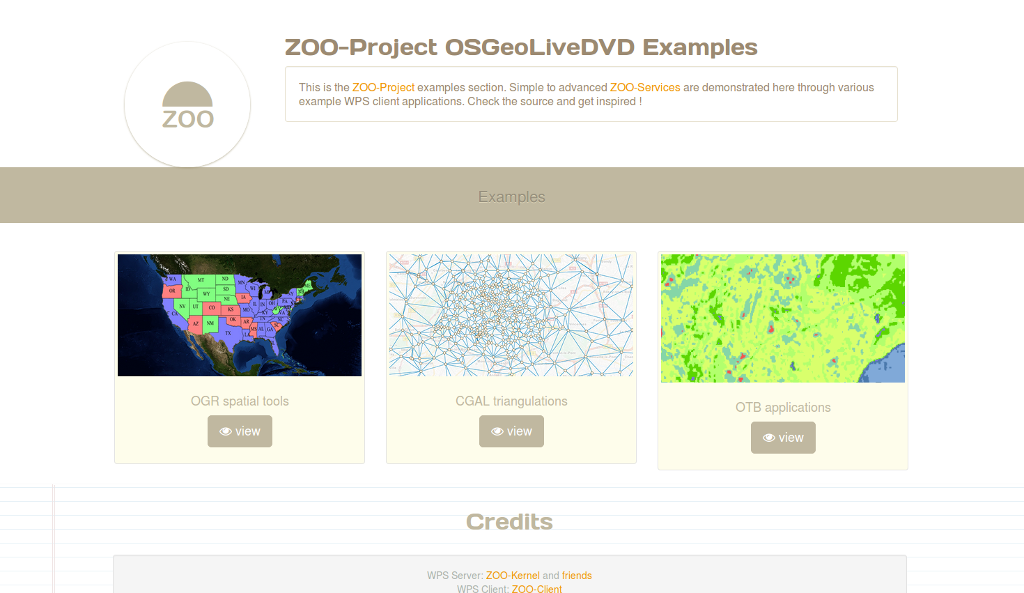
Zoo プロジェクト
actinia
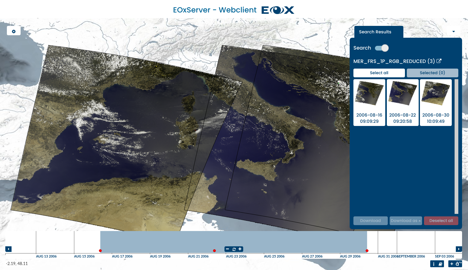
EOxServer
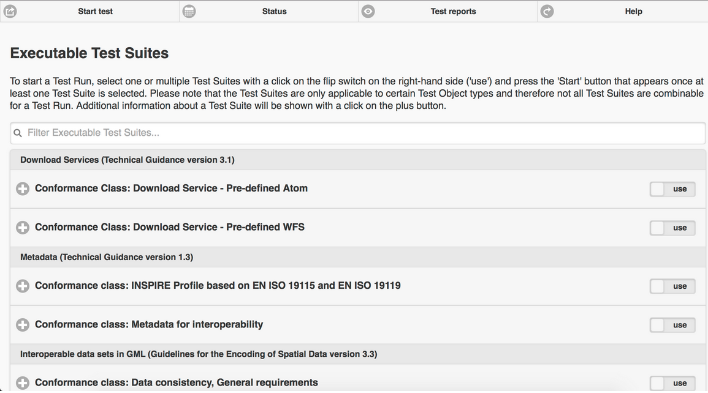
ETF
QGIS Server
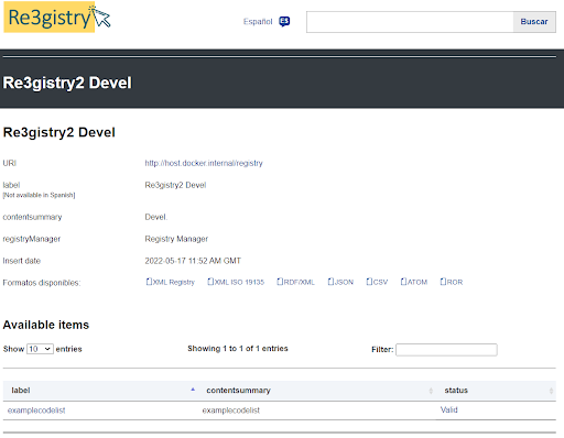
Re3gistry
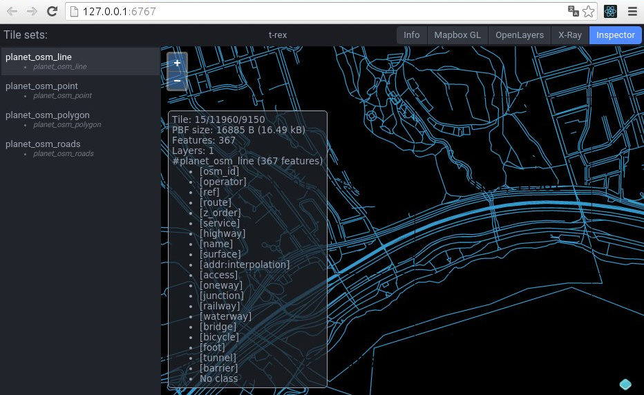
t-rex
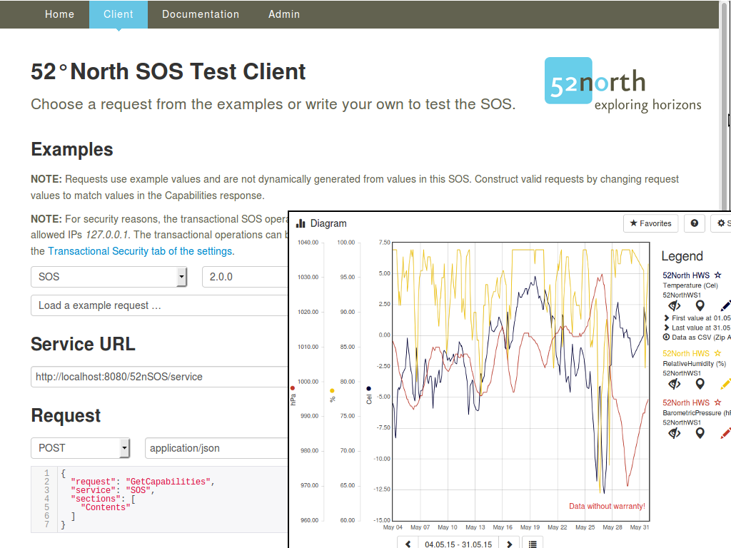
52 North SOS
deegree
GeoNetwork
GeoServer
MapCache
MapServer
pycsw
PyWPS
istSOS
MapProxy
pygeoapi
Zoo プロジェクト
actinia
EOxServer
ETF
QGIS Server
Re3gistry
t-rex
52 North SOS
データストア
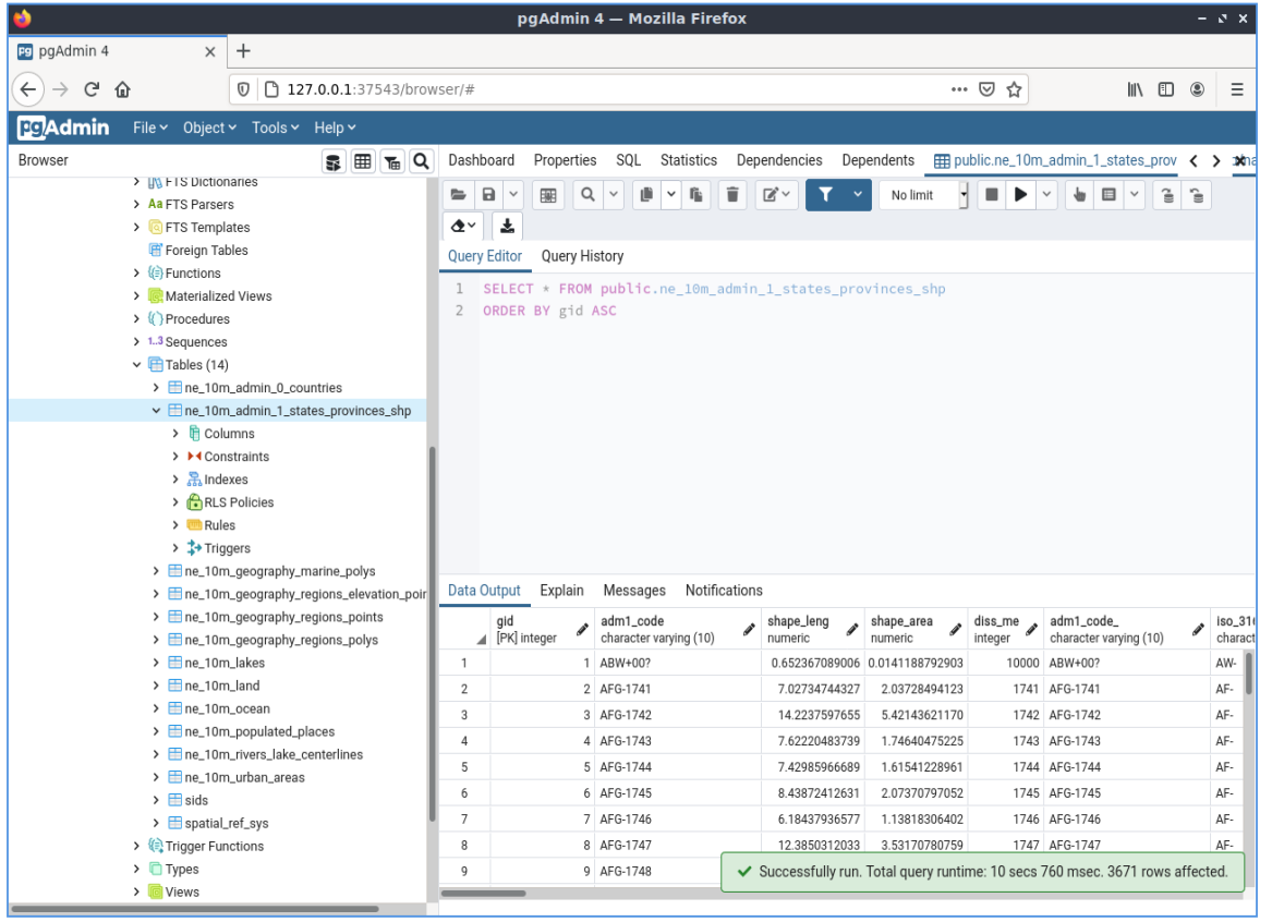
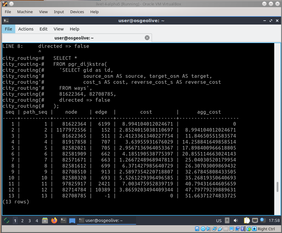
PostGIS
pgRouting
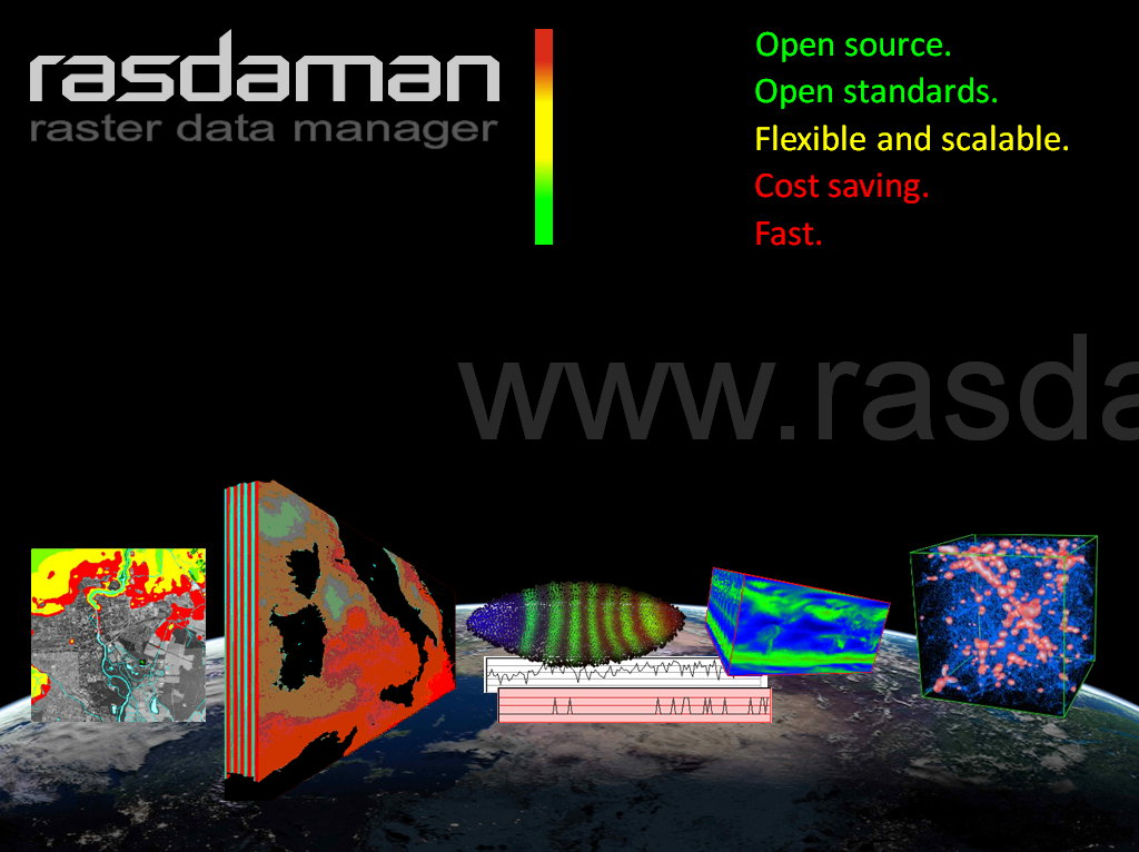
Rasdaman
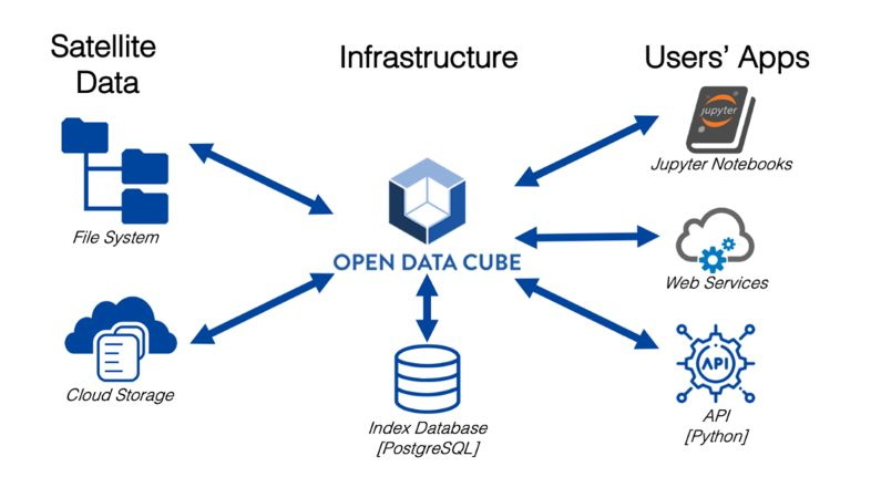
Open Data Cube
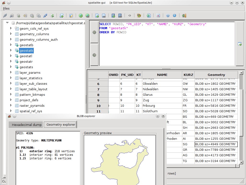
SpatiaLite
PostGIS
pgRouting
Rasdaman
Open Data Cube
SpatiaLite
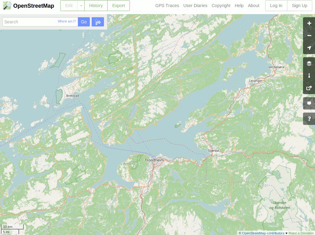
ナビゲーションと地図
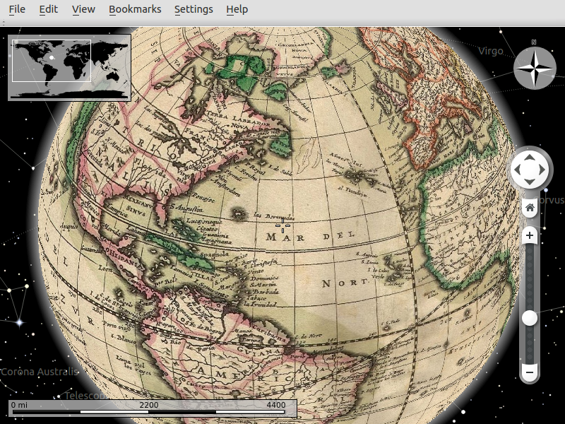
Marble
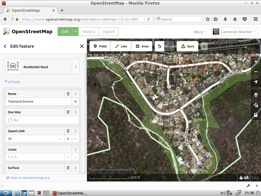
iD エディタ
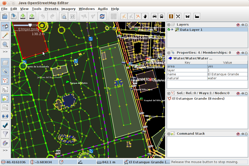
JOSM
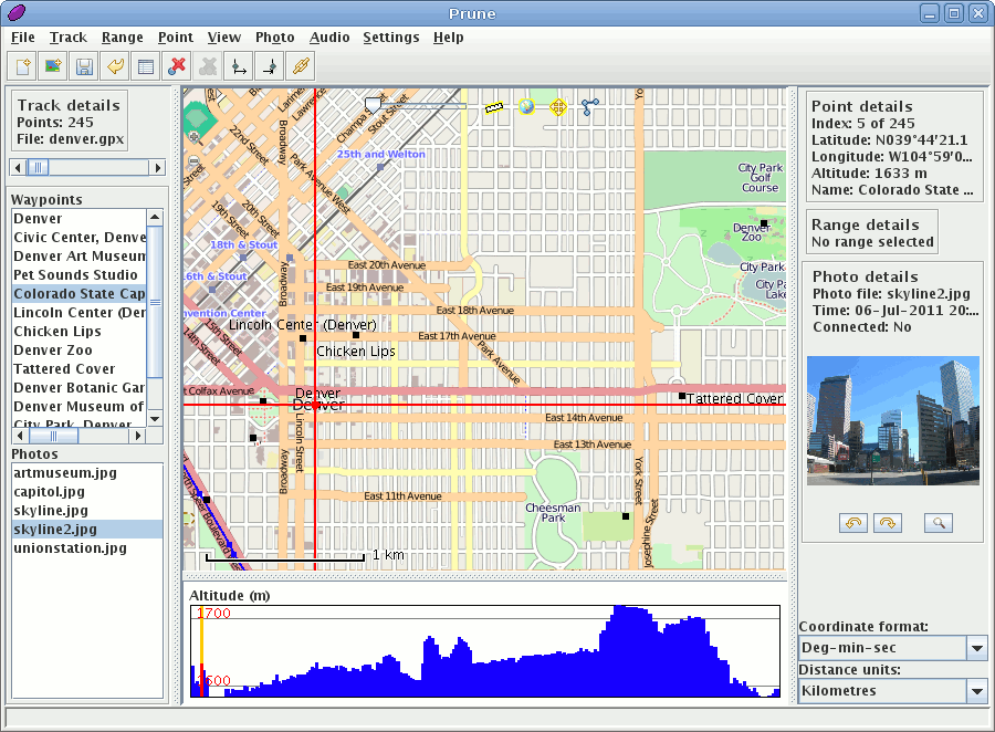
GpsPrune
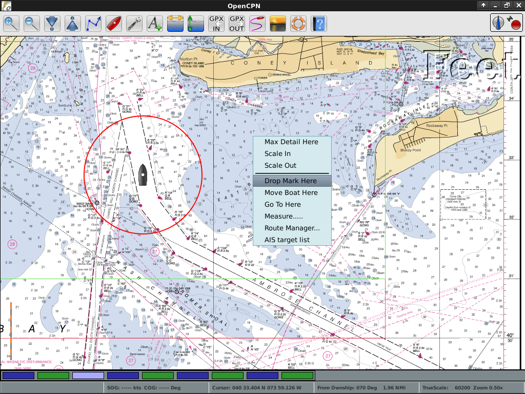
OpenCPN
OpenStreetMap
Marble
iD エディタ
JOSM
GpsPrune
OpenCPN
OpenStreetMap

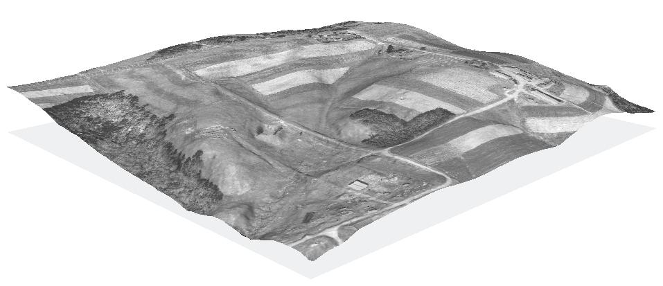
空間ツール
OTB
GMT
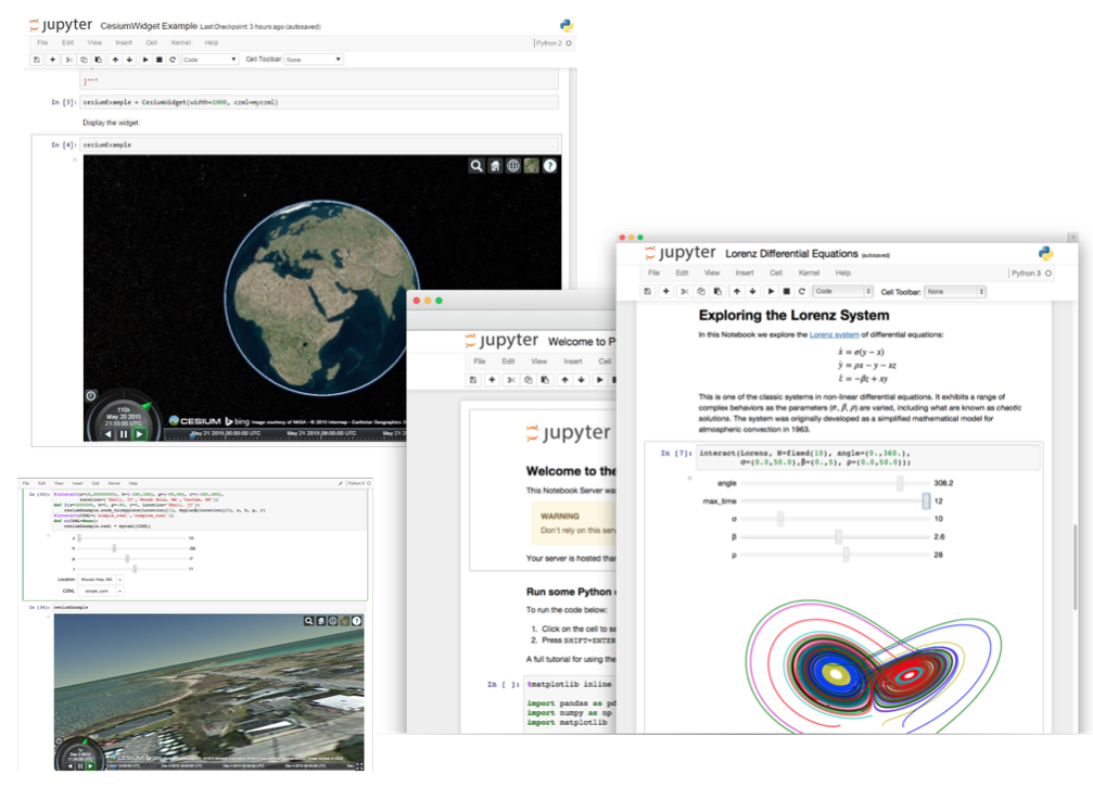
Jupyter Notebook
Mapnik
R
OTB
GMT
Jupyter Notebook
Mapnik
R
特定用途向け GIS
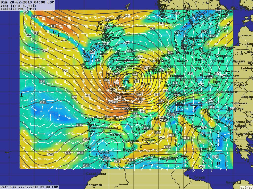
XyGrib
XyGrib
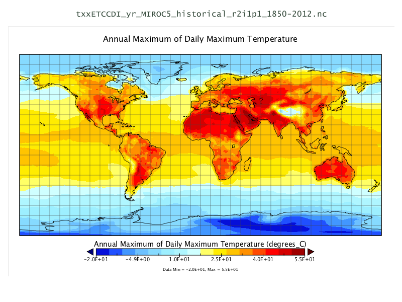
データ
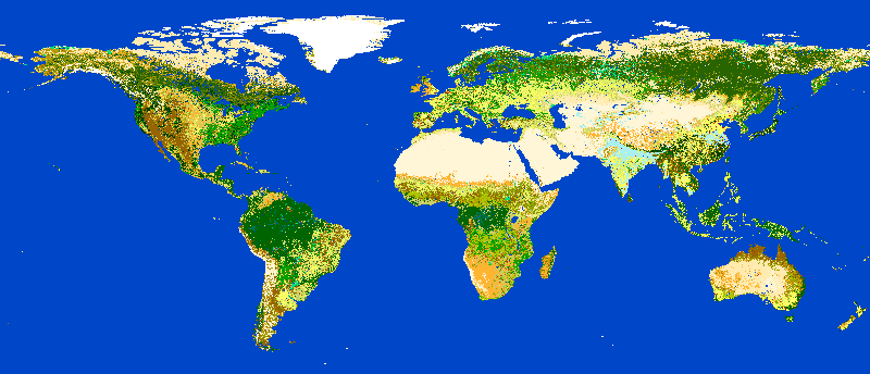
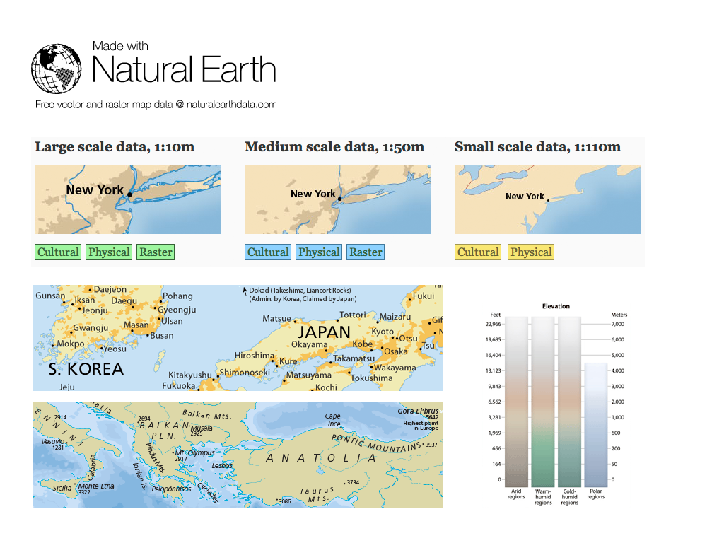
Natural Earth
ノースカロライナ USA 教育データ・セット
NetCDF データセット
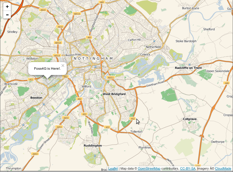
OpenStreetMap
Natural Earth
ノースカロライナ USA 教育データ・セット
NetCDF データセット
OpenStreetMap
地理空間ライブラリ
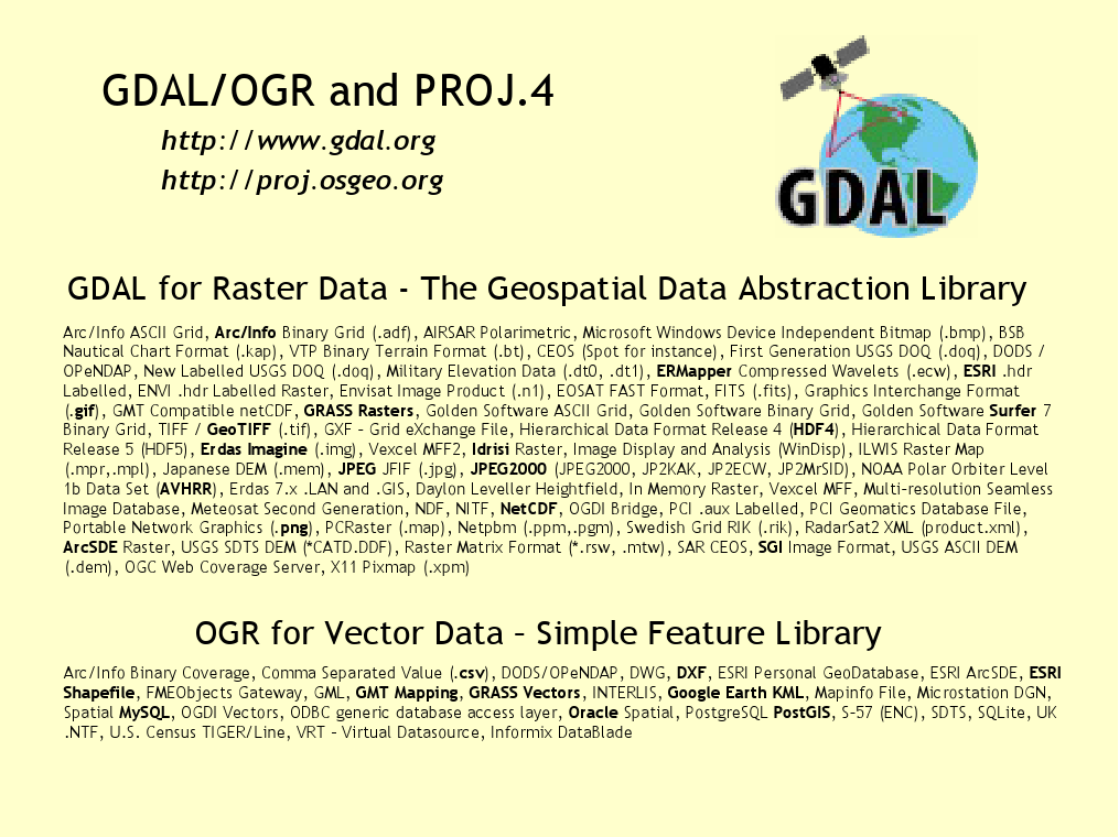
GDAL/OGR
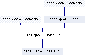
GEOS
GeoTools
PROJ
OWSLib
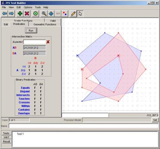
JTS
GDAL/OGR
GEOS
GeoTools
PROJ
OWSLib
JTS
貢献者
開発者とプロジェクトメンテナー
ドキュメントの著者とレビュアー
翻訳者
プロジェクト運員委員会
Angelos Tzotsos (会長)
Brian M Hamlin
Alex Mandel
Johan Van de Wauw
Bas Couwenberg
Massimo De Stefano
Astrid Emde
Nicolas Roelandt
Vicky Vergara
Enock Seth Nyamador
参加するには
チームのメンバーになるには
OSGeoLive のドキュメントを改善する
クイックスタートとオーバービューの校正、テスト、修正
クールなソフトウェアに出会える可能性大!
ドキュメントの翻訳と改善
Translation is made in OSGeo Weblate
ローカルチャプターはここから簡単に参加可能
技術的な経験は不要
OSGeoLiveを試してみましょう
Cloud deployments
OSGeoLiveを試してみましょう
OSGeoLiveを試してみましょう
Join us at the FOSS4G Europe Community Sprint on Saturday/Sunday in Mostar
19.-20. of July 2025
Everyone is welcome!
スポンサー
OSGeo |
UCD ICE |
DebianGIS |
|
|
|


OSGeoLiveを試してみましょう